

GIS Toolkit for
AutoDirt
Project name AutoDirt
Map with data on traffic density in the United States
-
Country:
USA
-
Industry:
Transportation
-
Project status:
October 2021
-
Front end:
-

MapboxGL
-
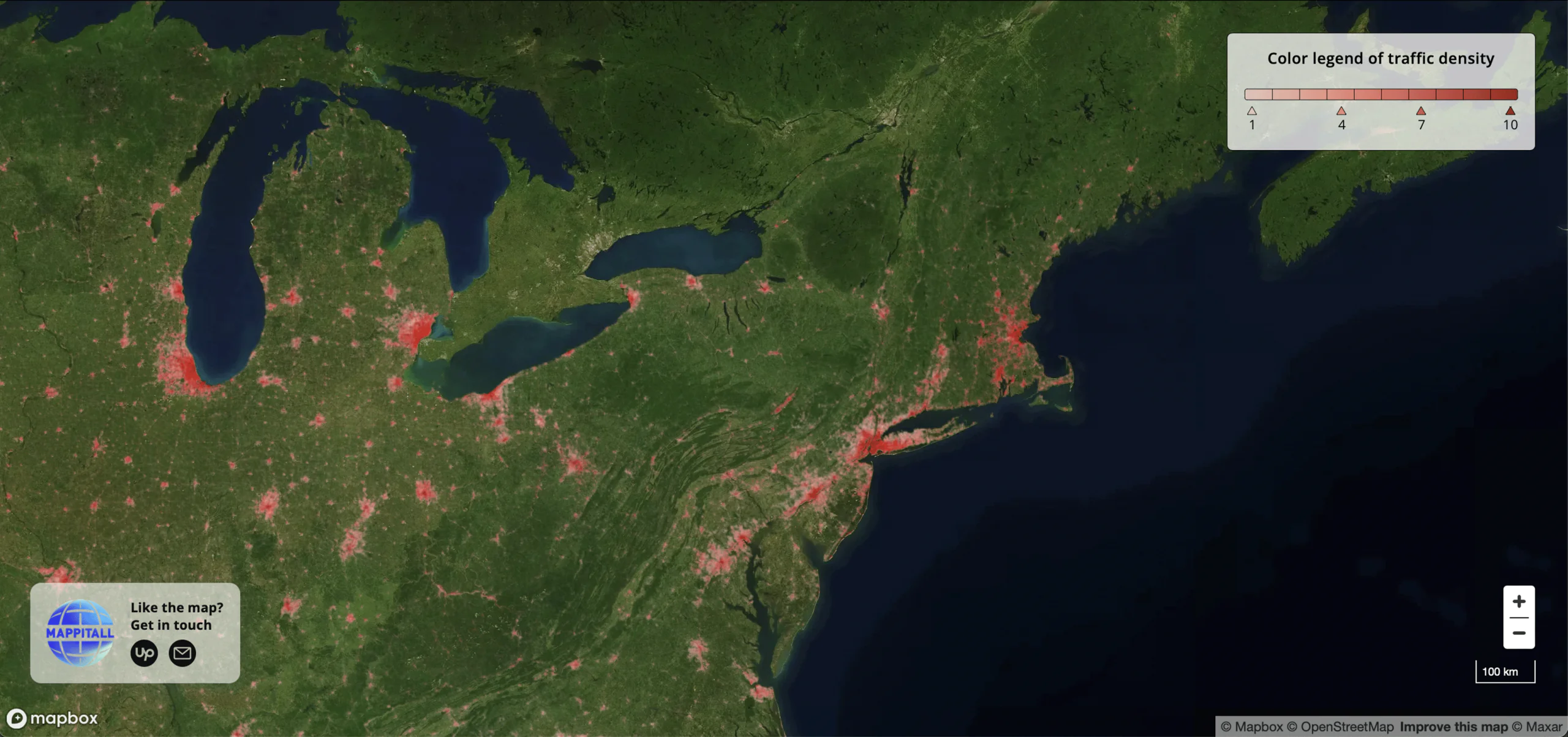
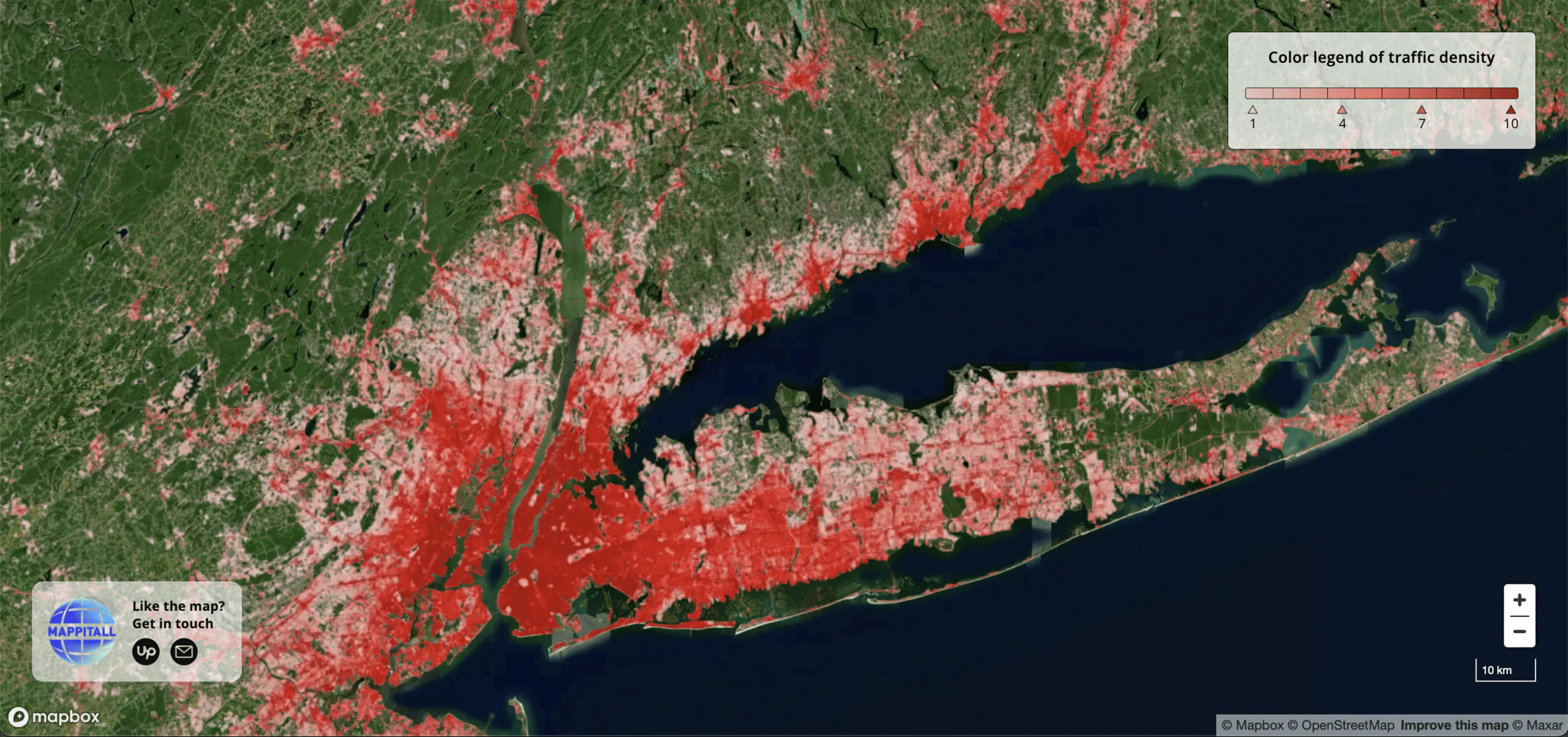
Slide 1/2: Here are the data on traffic density in the USA

Let's bring your project to life!
Use our expertise to design your custom mapping software solution.
Mappitall cases
Related Case Studies
-

-
-
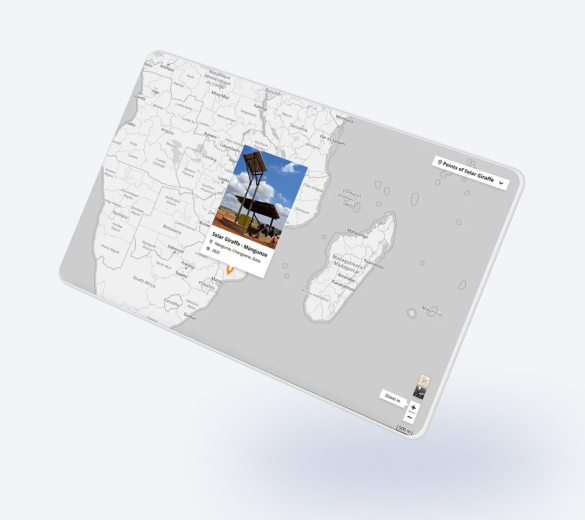
Girafa Solar
Points "Girafa Solar" (a structure to create a community space to charge cellphones and listening to the radio in rural areas) on the mapLook into the case