

GIS development services offer businesses customized solutions to meet their specific needs. Companies can make more informed decisions. That’s due to analyzing data and automating processes. They engage customers, improve field operations, and gain a competitive advantage.

Mappitall GIS Services
Mappitall, a GIS industry leader, enables businesses to leverage geographic data for informed decisions. We’re your trusted partner, offering expertise and cutting-edge tech for exceptional GIS services, including software development, 2D/3D mapping, consulting, and more. Unleash spatial data’s full potential with our experts.
Our Services
-
GIS Software Development
-
GIS Database Design
GIS database design services involve creating and optimizing databases that store geospatial data. This includes organizing data and integrating diverse geographic information sources. It ensures data consistency and quality, query performance, and scalability.
-
Spatial Data Analysis
Spatial information analysis services involve the use of advanced techniques. They help extract insights and patterns from geospatial data. You can perform various tasks like spatial clustering, interpolation, regression, and modeling.
-
GIS Consulting
GIS consultant services help address challenges with GIS technology. Consultants assess business needs and design customized solutions. They analyze and visualize data, optimize workflows, and provide training and support. Businesses use improved decision-making, streamlined operations, and enhanced efficiency.

-
Data Capture and Verification
Let’s explore developing a GIS service with a data collector. It involves converting it into a digital format for GIS analysis. Data verification ensures the accuracy and quality of captured data.
-
Spatial Data Analysis
Spatial information analysis helps analyze data to uncover valuable insights and patterns. Businesses can optimize resource allocation, target specific markets, and stay ahead of competitors.
-
Cartography and Mapping
Cartography and mapping help visualize and analyze data. That makes it easier to understand and make decisions based on spatial information. Users can easily recognize patterns, relationships, and trends in the data. They can communicate this information to others.
-
GIS Web & App Development
You can enjoy the cutting-edge app and web GIS services with geospatial technologies. It combines web development with geospatial data processing and spatial analysis techniques.
-
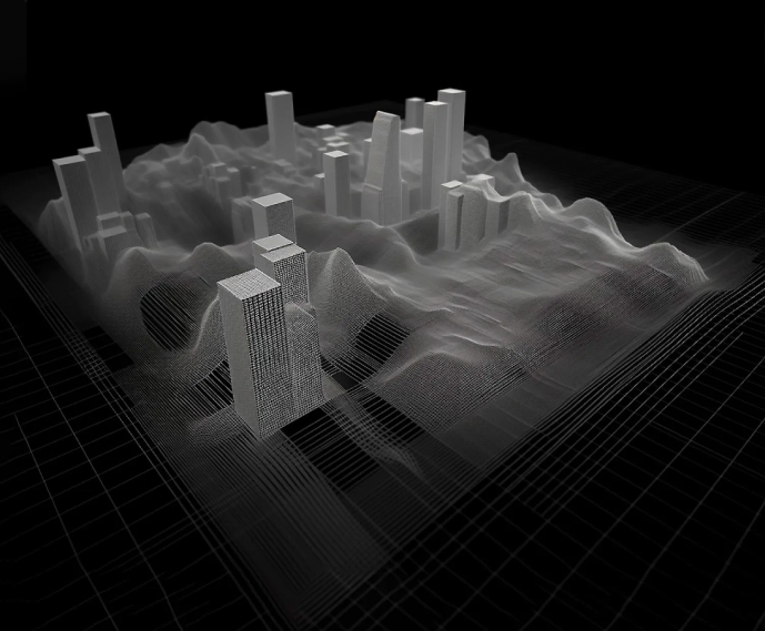
2D & 3D Digital Mapping
It incorporates detailed information on surface geological features, utilizing data from various sources. This enhances maps, providing a comprehensive view of the terrain.
-
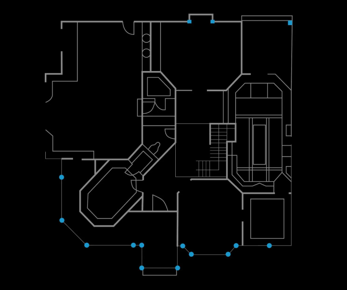
Indoor Mapping
You can transform any facility or venue into a floor plan or Building Information Model (BIM). This allows for the visualization of the internal layout. Users get the possibility to locate and navigate within the building or venue.
-
Cartography Vectorization
Cartography vectorization helps convert rasterized images into georeferenced data instances. It transforms static images into dynamic and interactive geospatial data. Users can enjoy facilitated analysis, visualization, and exploration within GIS applications.
-
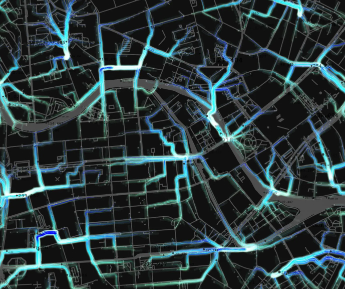
Web Map Development
It’s the creation of interactive web-based maps. They leverage geographic information and GIS technology. Users get a visual representation and analysis of geographic information. Web map development helps create engaging maps for various applications.
-
LIDAR Data Processing and Conversion
It processes and converts LiDAR data into usable formats within GIS. GIS data conversion services help integrate converted LiDAR data into GIS systems.
-
Georectification and Georeferencing
They make your maps more reliable and precise. That’s because georectification aligns images with the real world. It ensures accurate representation, while georeferencing adds location coordinates to non-spatial data. You can explore the world with pinpoint accuracy.
-
Vectorization and Digitization
They convert rasterized images into vector data or digital files of any format. You can manipulate, analyze, and integrate spatial information within GIS systems.
-
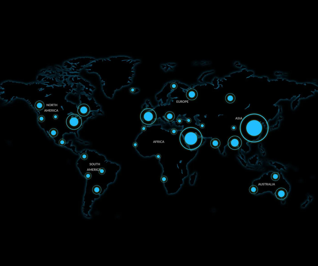
Data Integration
Integrating geographic information from diverse sources is valuable. It gives a comprehensive view of location information. Combining these varied datasets gives you a holistic view of spatial data. It facilitates analysis, visualization, and decision-making.
-
Floor Plans Digitalization
A 2D/3D digital map provides a unified view of your building. It allows you to visualize and analyze indoor data, spaces, and assets. This enables efficient space management and navigation.
-
Indoor Navigation
It provides seamless navigation and guidance within indoor spaces. Indoor maps, real-time positioning systems, and routing algorithms help navigate complex indoor environments. They can locate points of interest and optimize their indoor travel routes.
-
Building Information Model (BIM)
A complete digital representation of a building’s characteristics helps integrate geospatial data. It facilitates spatial analysis and building assets management throughout the construction project lifecycle.
-
Data Acquisition and Digitization
Gathering and converting different types of information into digital formats has many benefits. It enables efficient storage, analysis, and use of data within business operations.
-
Data Conversion and Transformation
It’s the process of converting and reformatting location data to another format. It enables seamless integration and compatibility across different systems and applications.
-
Data Cleansing and Quality Audit
Identify and correct errors and inconsistencies in geospatial data. You can enhance your business credibility and your spatial information accuracy.
-
Geospatial Modeling and Analysis
Geographic information and computational techniques provide a deeper understanding of spatial phenomena. They help create models and derive meaningful insights about the geographic domain.

Reasons to Choose Our GIS Development Services
If you are looking for gis mapping services, these are the reasons to choose Mappitall
-
We have +15 years of expertise in delivering high-quality GIS mapping services. Furthermore, we use cutting-edge technologies in various industries.
-
We have a customized approach to every client and try to meet their unique needs with our GIS services. Our team prioritizes your success and aims to develop revolutionary projects.
-
Our success stories showcase how we boost clients’ market performance by enhancing data-driven decisions and operational efficiency through GIS services.
Our Case Studies
We collaborated with various companies. These are FuseGis, Geosphere LLC, FortRoss, and more. Our experts offered them geospatial solutions. They boosted their business efficiency. They include:
-
Spatial Gis services
-
Gis mapping services
-
Gis analyst land development services
-
Gis services pest control
-
Gis services for environmental management
Here you can find out more about our client’s cases:
-
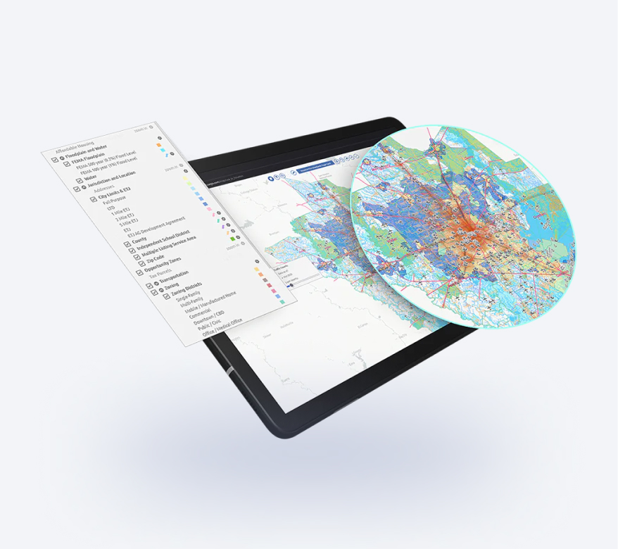
FuseGIS
This software solution allows deep data and GIS data analysis of absolutely all parcels and properties within the territories Precise Austin, Dallas, Houston and San Antonio, TX GIS DataLook into the case -
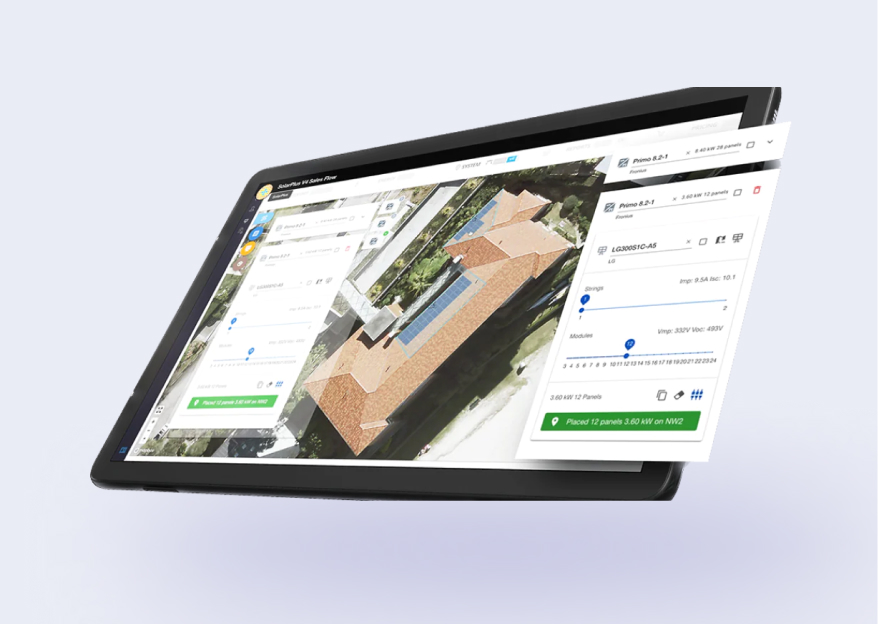
Solaris
A sustainable energy company builds a GIS toolkitLook into the case
to inform the most efficient design and placement
of solar panels -

Let's bring your project to life!
Use our expertise to design your custom mapping software solution.

Clients Testimonials
FAQ
-
How does GIS help?
Geographic Information Systems (GIS) help capture, store, analyze, visualize, and interpret spatial data. It enables users to understand complex data due to its visual representation. Geospatial technologies allow users to find spatial data patterns, relationships, and trends. They can manage and integrate geographic data from different sources.
-
What do GIS specialists do?
Let’s find out what GIS specialists do to understand GIS services’ meaning. They are professionals who work with geospatial data. Their responsibilities are diverse. They include gathering geographic data and organizing and maintaining GIS databases. Moreover, they analyze spatial data and create maps. These experts apply GIS technology to solve challenges with GIS-based solutions.
-
How is GIS used in telecom and network services?
The telecom and network services industries use GIS in various ways. Network planning, design, asset management, site selection, tracking, and maintenance use GIS. Users can visualize networks and analyze service areas. It helps them integrate location-based data for customer relationship management.
-
What is a REST service in GIS?
A REST service in GIS is a web service that lets applications access and interact with GIS data online. It uses URLs and HTTP methods like GET and POST to retrieve and change GIS resources. These services are stateless and provide different data formats, such as XML or JSON. REST services simplify the integration of GIS capabilities into applications. They ensure standardized communication with GIS data and perform GIS operations.
-
What is GP service in GIS?
A GP service in GIS is a web tool that lets users easily analyze and process GIS data. Clients can submit geoprocessing tasks and receive online results with a simple interface. GP services enhance automation, collaboration, and accessibility within GIS workflows.
Related posts
-
Guides
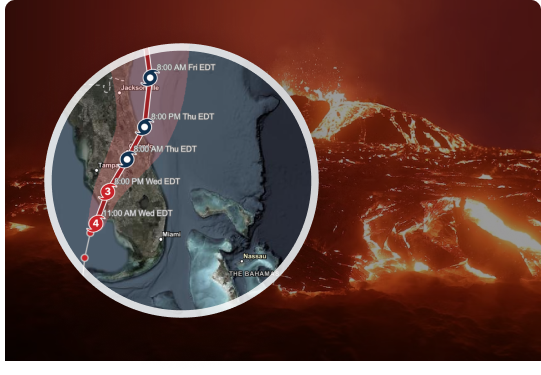
GIS for Disaster Management and Weather Prediction
When a natural disaster strikes, every minute counts. People might not have enough time to read […]Learn more -

Guides
Applying GIS Solutions in The Real Estate Industry
As the world has entered the digital era, various industries across the globe started implementing advanced […]Learn more -
Guides
GIS Applications to Reduce Operational Costs
Thousands of businesses across the globe adopt BI-powered GIS applications for workflow optimization and cost reduction. […]Learn more

Get in touch with us
Looking to GIS Mapping Services?
Just contact us:
Fill in the form below to request a custom quote, schedule a demo, or simply learn more about our powerful products and services.