Mappitall cases
Discover our GIS success stories
-
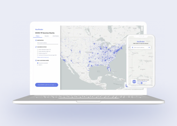
COVID-19 Vaccines Nearby
Bringing COVID-19 vaccine closer to
the public with a web app -
-
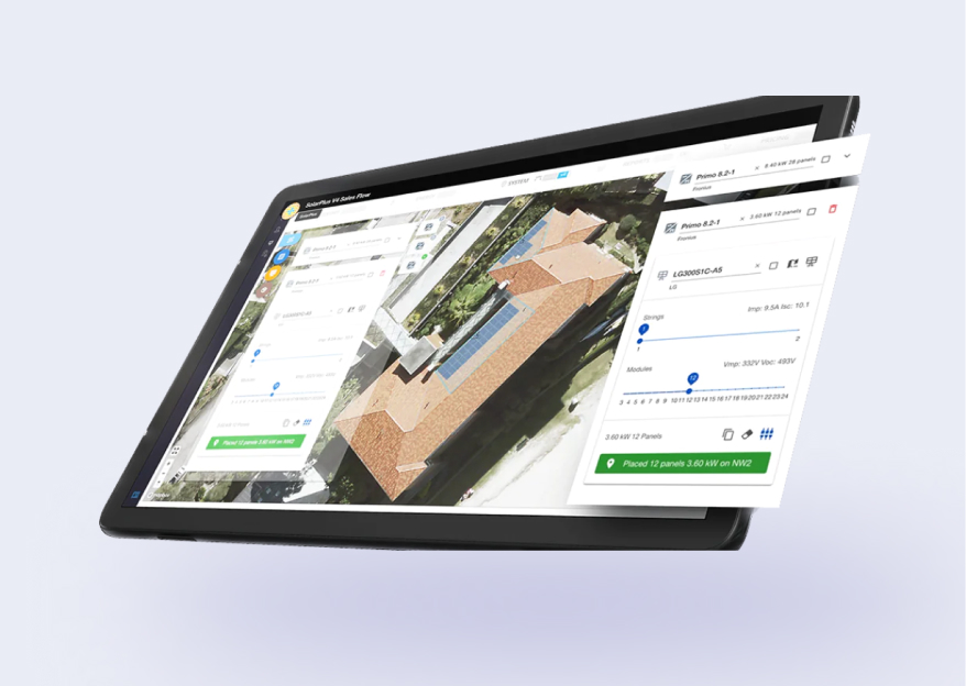
FuseGIS
This software solution allows deep data and GIS data analysis of absolutely all parcels and properties within the territories Precise Austin, Dallas, Houston and San Antonio, TX GIS Data -
-
-
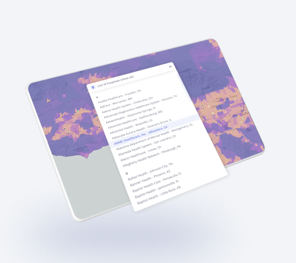
Hospital
Now all US hospital locations in one list. Just select the
one youneed and we will show it to you on the map -
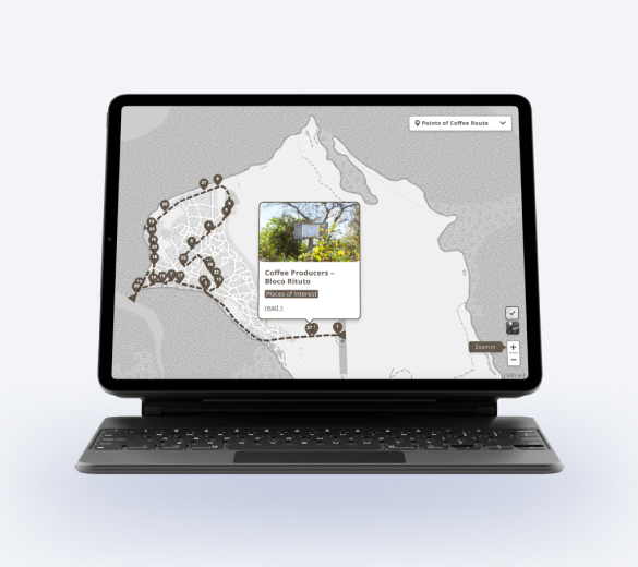
IBO RotaDoCafe
The famous coffee route on the island of Ibo
with points of interest -
-
Drop For Ukraine
The ultimate platform for voluntary
assistance to Ukraine -
-
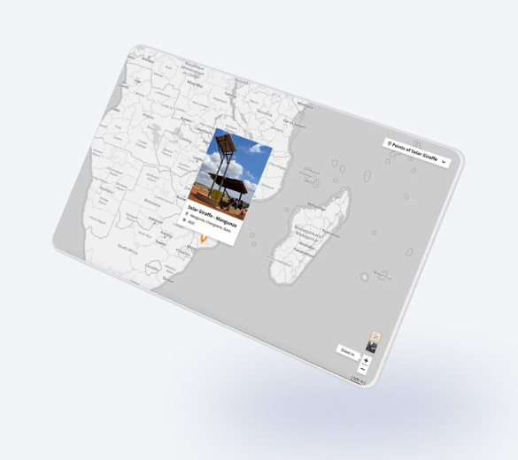
Girafa Solar
Points "Girafa Solar" (a structure to create a community space to charge cellphones and listening to the radio in rural areas) on the map -
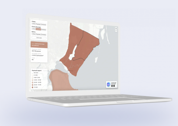
Jornal da Cidade
Displaying layers on the map with statistical data on population and density in the city -
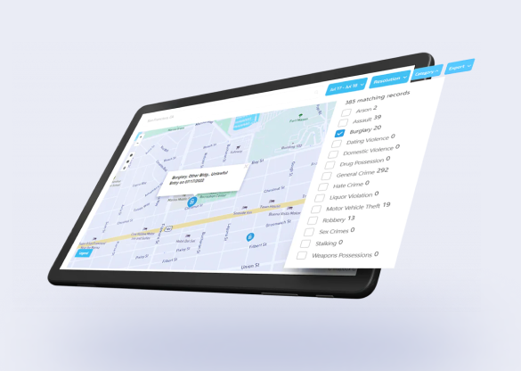
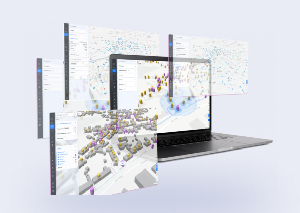
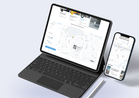
Civic Hub
The company partnered with Mappitall to enhance their SF Crime and Arrest Data Project with an interactive map. -
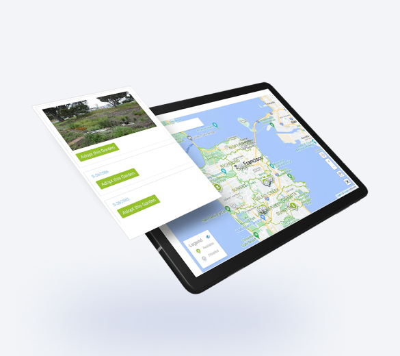
Rain Guardians
SFPUC Rain Guardians Program presents a map of rain gardens to a community of volunteers to help manage stormwater and keep them free of trash and debris. -
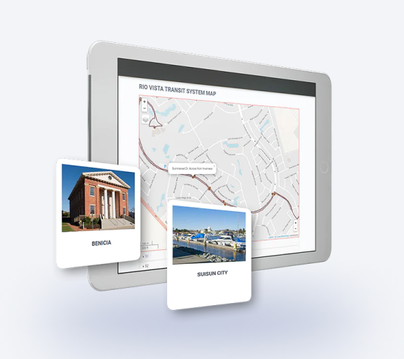
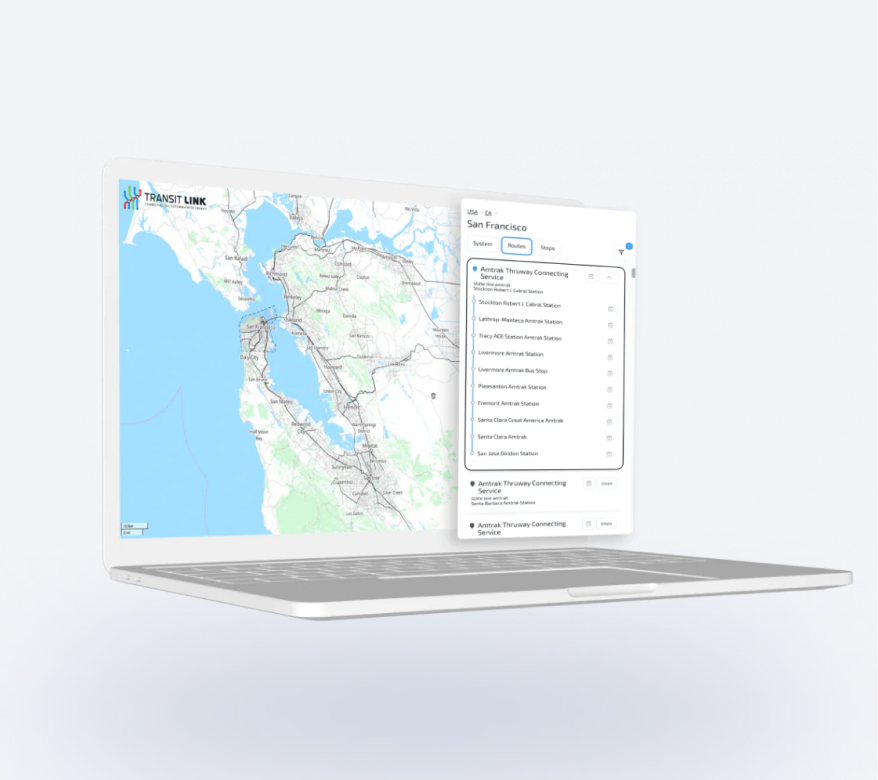
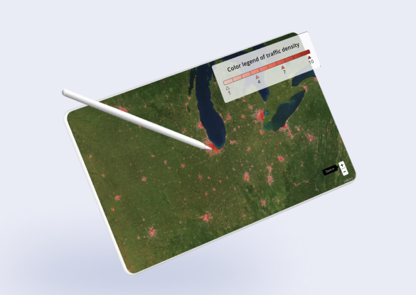
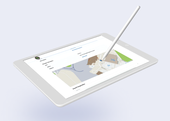
Solano County
A US transportation authority builds intuitive maps for California residents and improves daily commute
around Solano county. -
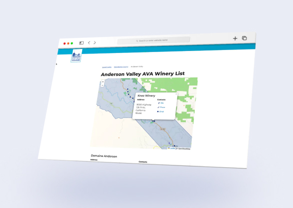
FortRoss
A guide to wineries in Marin, Sonoma, Napa, and
Mendocino counties -
National Airport Database
A map showing the airport - and routes from the
airport to city centers (routes were created with
TomTom) -