

GIS Toolkit for
Kuwait
Project name Kuwait
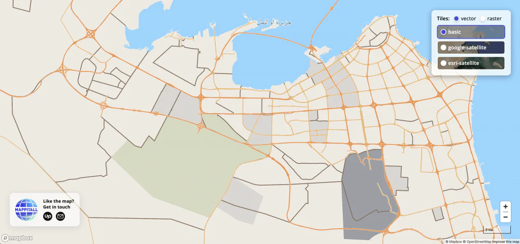
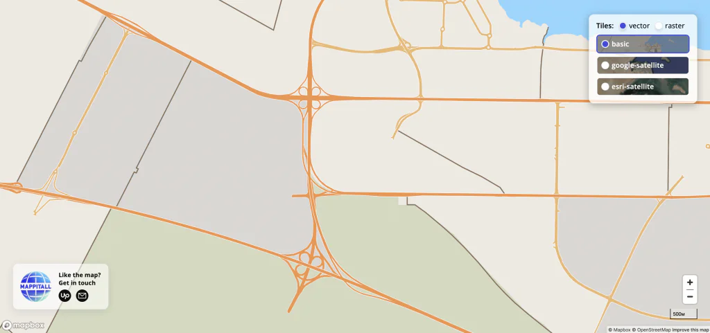
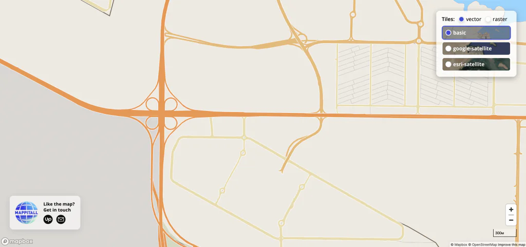
Vector and raster map display with the choice of their type
-
Country:
KWT
-
Industry:
Information
-
Project status:
July 2021
-
Front end:
-

MapboxGL
-
-
Back end:
-

Node.js
-

PostgreSQL
-
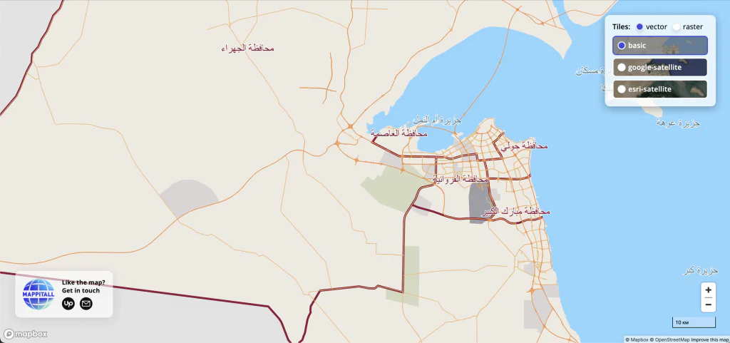
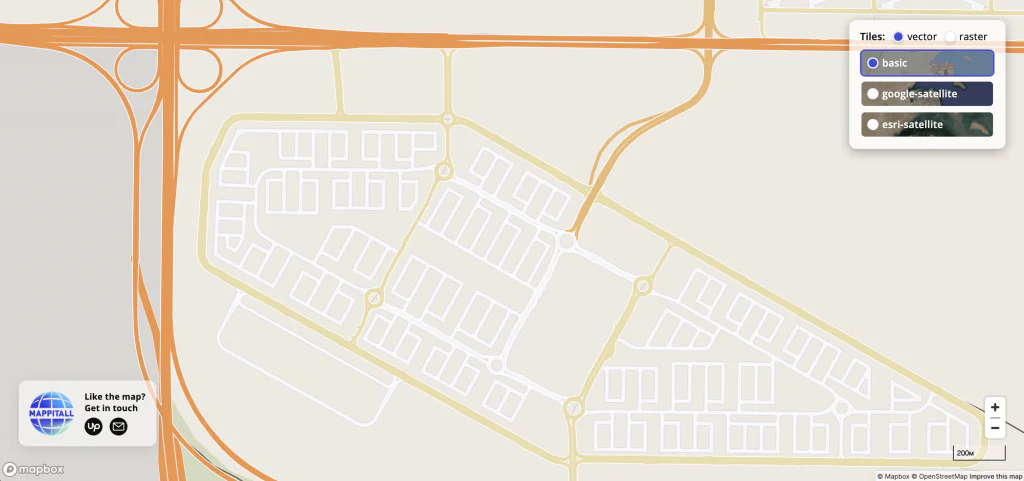
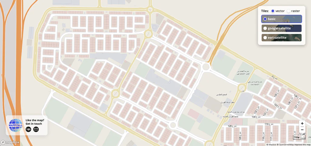
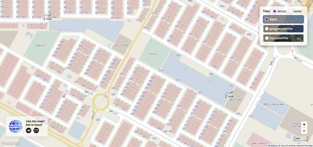
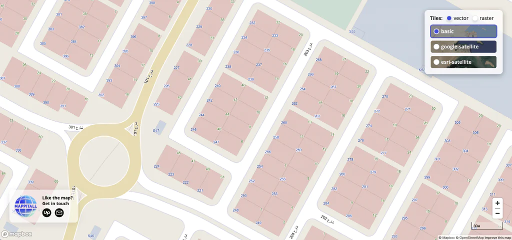
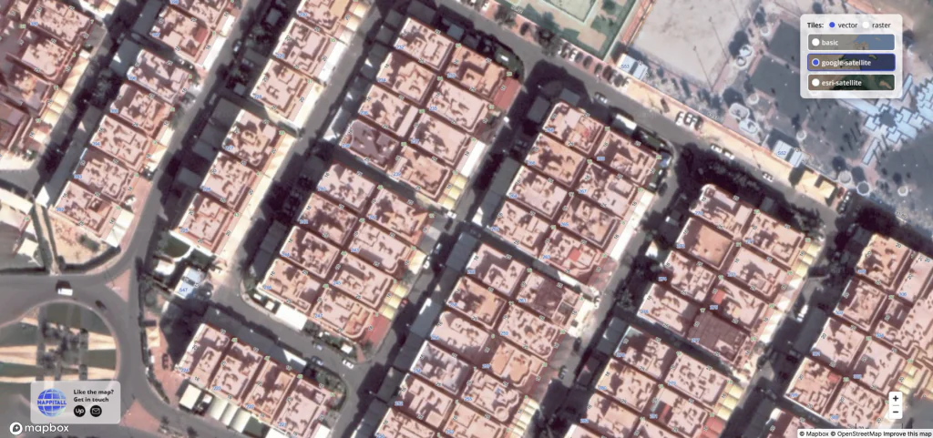
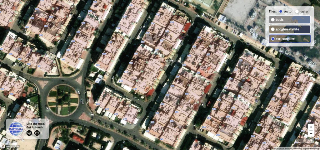
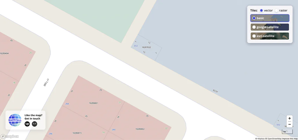
Slide 1/11: Country, landuse and roads

Let's bring your project to life!
Use our expertise to design your custom mapping software solution.
Mappitall cases
Related Case Studies
-
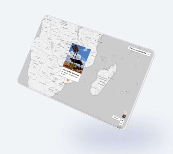
Girafa Solar
Points "Girafa Solar" (a structure to create a community space to charge cellphones and listening to the radio in rural areas) on the mapLook into the case -
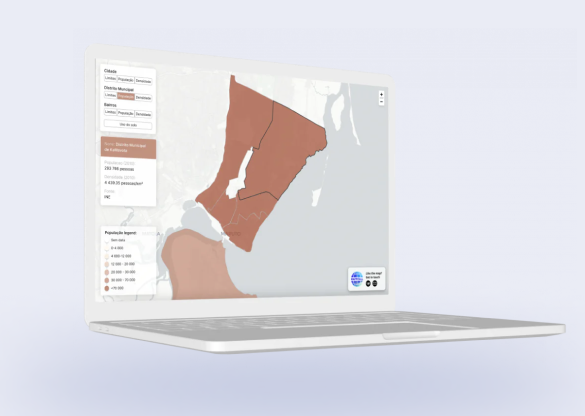
Jornal da Cidade
Displaying layers on the map with statistical data on population and density in the cityLook into the case -
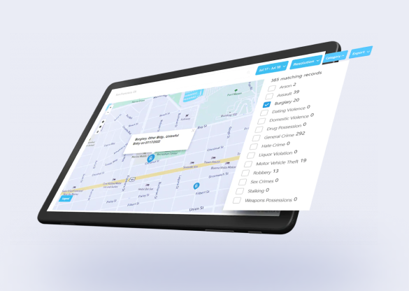
Civic Hub
The company partnered with Mappitall to enhance their SF Crime and Arrest Data Project with an interactive map.Look into the case