GIS software development, GIS database design, Spatial data analysis, GIS consulting

2D/3D digital mapping, Indoor mapping, Cartography vectorization, Web map development

LiDAR data processing and conversion, Georectification and georeferencing, Vectorization and digitization, Data integration

Data capture and verification, Spatial data analysis, Cartography and mapping consulting, GIS web & app consulting

Floor plans digitalization, Indoor navigation, Building Information Model (BIM)

Data acquisition and digitization, Data conversion, Data cleansing and quality audit, Geospatial modeling and analysis

GIS Data Conversion - 8
Home » Services » GIS Data Conversion

GIS Mapping
Data Conversion Services

Align your data formats for a high-quality, accurate GIS system.

15
years of
experience
87
implemented
projects
12K+
working
hours
GIS Data Conversion - 9
GIS Data Conversion - 10 GIS Data Conversion - 11 GIS Data Conversion - 12

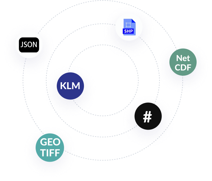
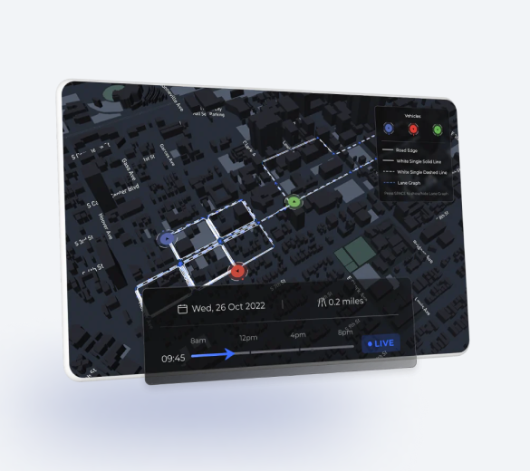
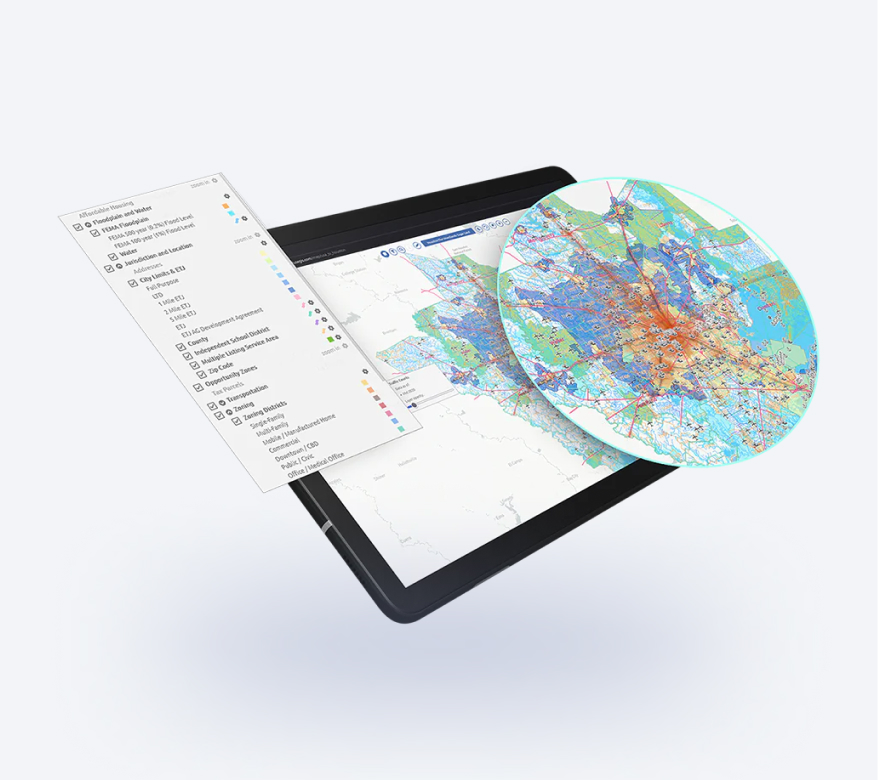
Geographical data obtained from different sources often comes in different formats. And that is when things get messy no matter how advanced your GIS system is. Mappitall will help you translate one data format into another so that you never bother about data quality and consistency again.

GIS Data Conversion - 13 GIS Data Conversion - 14 GIS Data Conversion - 15

GIS data conversion services we provide

Connect any type of GIS data no matter the structure

LiDAR data processing and conversion
Model slope surfaces, generate 3D models, and extract data about terrain and specific objects with the LiDAR technology and its capability to “see through the trees”.
Georectification and georeferencing
Record the coordinates and attributes of a particular location or reference a map image to a spatial grid to better view, query, and analyze in line with other geo data.
Vectorization and digitization
Transform rasterized images of geographical entities (paper maps or aerial images) to vector data or digital files of your required format.
Data integration
Combine geospatial data from different sources, like satellite images, vectorization plans, or drone imagery, and get a unified view of all available location information.
GIS Data Conversion - 16 GIS Data Conversion - 17 GIS Data Conversion - 18

Benefits of our GIS map data conversion services

Make data work for you, not vice versa

Manage data quality

GIS conversion improves your data quality management and ensures all the captured information remains up-to-date and aligned for further analysis and decision making.

Improve operational efficiency

Converted GIS data is the backbone for effective, manageable mapping applications. It optimizes your workflow and reduces back and forth interactions between your colleagues and clients.

Reduce costs

Converting GIS data from one format to another is always cheaper than recreating it. You won’t have to spend extra money on capturing more drone or satellite images; just take the ones that are already present in other databases.

Partner with industry professionals

Geospatial data conversion required skilled manpower in data science and engineering. Mappitall has 15+ years of experience in the GIS industry and can tackle particularly challenging projects with extra diligence.

GIS Data Conversion - 19
GIS Data Conversion - 20
GIS Data Conversion - 21

Our work process

Kick-off your project without extra hassle

1
Project discovery and planning
During our first kick-off call, you specify your business requirements and objectives. We identify the scope of work as well as the data to be captured and the format it should be converted in.
2
Data collection
The first step to GIS data conversion is its capturing: we gather all info from paper maps, satellite, aerial, and drone images, raster and vector maps and set up GIS software to accept this data.
3
GIS Data processing and conversion
The data is encoded into the required format and imported into a unified geodatabase. Some of the most common geodata formats include Shapefile, GeoJSON, netCDF, and KML among others.
4
Quality control
All the project is tested to identify information gaps, address the issues of lost and inexact mapping data conversion in GIS, and ensure its compatibility within the system.
5
Final release
The data is finally pulled into a single database and integrated with your map or app. You can also proceed with Mappitall GIS conversion services and improve the functionalities of your product, if needed.
GIS Data Conversion - 22

Industries we serve

Real estate
Sustainable energy
Transportation and logistics
Agriculture
Healthcare
Tourism

Technologies we use

Tools and frameworks:
GIS Data Conversion - 23
Mapbox GL
GIS Data Conversion - 24
Leafletjs
GIS Data Conversion - 25
ArcGIS Online
GIS Data Conversion - 26
HERE Map JavaScript API
GIS Data Conversion - 27
PostgreSQL
GIS Data Conversion - 28
GDAL/OGR
GIS Data Conversion - 29
Node.js
GIS Data Conversion - 30
QGIS
GIS Data Conversion - 31
JOSM
GIS Data Conversion - 32
UMN Mapserver
GIS Data Conversion - 33
Vue.js
GIS Data Conversion - 34
React
Languages:
GIS Data Conversion - 35
SQL
GIS Data Conversion - 36
PHP
GIS Data Conversion - 37
JavaScript
GIS Data Conversion - 38
Python
GIS Data Conversion - 39
HTML
GIS Data Conversion - 40
CSS
Formats:
GIS Data Conversion - 41
Shapefile
GIS Data Conversion - 42
GeoJSON
GIS Data Conversion - 43
GeoTIFF
GIS Data Conversion - 44
KML
GIS Data Conversion - 45
Vector Tiles (mbTiles, .PBF)
GIS Data Conversion - 46
netCDF
GIS Data Conversion - 47

Mappitall cases

Discover our GIS success stories

GIS Data Conversion - 48

GIS toolkit for COVID-19 Vaccines Nearby

The US healthcare authorities build a Vaccines.gov app with all COVID-19 vaccine providers across the country and up-to-date data on vaccine availability.

look into the case
GIS Data Conversion - 49

GIS toolkit for
Road Lanes

Movement of vehicles in real time.

look into the case
GIS Data Conversion - 50

GIS toolkit for FuseGIS

A real estate company designs a mapping solution to save time, cost, and resources for brokers and real estate agents.

look into the case
View more cases
GIS Data Conversion - 51

Lost in geographical data translation?

Reach out to us at Mappitall and achieve exceptional data compatibility with our GIS data conversion services.

    Just contact us:

    Tell us about your project goals, and we’ll get back to you in no time!


    Frequently asked questions

    What are the advantages of GIS data conversion from your company?

    The competitive advantage of Mappitall is versatile experience working with a broad range of GIS data formats and models. We can convert and align data in such formats as Shapefile, GeoJSON, GeoTIFF, KML, Vector Tiles (mbTiles, .PBF), or netCDF among others. This vast expertise allows the company to deal with complex, non-standard cases of GIS data conversion.

    Is data from drone images suitable for GIS data conversion?

    Data from drone images is suitable as long as you rasterize and georeference it. This is a part of the service Mappitall provides and should not pose any challenges within geospatial data conversion.

    How long does GIS data conversion take?

    The time for GIS data conversion depends on the amount of data available and the differences in their formats. Some of the challenges that may prolong the time of GIS data conversion are the scale of images, their projection, raster to vector format, and the image resolution. More accurate projections regarding the timeframe are set after the initial evaluation of data.

    What models of cooperation does your company have within GIS data conversion services?

    Mappitall works on a time & material basis or following a fixed price model. The former is advised when the project will undergo changes, while the latter suits best when you have already defined the scope of work. In any case, the model of cooperation shall be established directly with the client during the project discovery and planning phase.

    What are the formats of GIS data output?

    GIS data is usually converted into vector, raster, imagery, and legacy data formats. Each has their own file format, such as Shapefile for ArcGIS collection of files or GeoTIFF for raster data.

    Why do companies need GIS gis data formats and data conversion?

    Companies need GIS data conversion to align the formats of all geospatial data and ensure their compatibility with systems. It is also essential for data migration from the existing database to new ones, which saves both time and money on GIS development.

    Can GIS transfer data?

    Yes, as long as the geospatial data is converted into the required format. Otherwise, you risk losing data or producing inexact data versions which might affect the accuracy of your GIS system.