GIS software development, GIS database design, Spatial data analysis, GIS consulting

2D/3D digital mapping, Indoor mapping, Cartography vectorization, Web map development

LiDAR data processing and conversion, Georectification and georeferencing, Vectorization and digitization, Data integration

Data capture and verification, Spatial data analysis, Cartography and mapping consulting, GIS web & app consulting

Floor plans digitalization, Indoor navigation, Building Information Model (BIM)

Data acquisition and digitization, Data conversion, Data cleansing and quality audit, Geospatial modeling and analysis

FortRoss - 6
Home
Cases

FortRoss

GIS toolkit for
FortRoss

Map with data on traffic density in the United States
PROJECT NAME FortRoss
Map with data on traffic density in the United States
Country:
United States
Industry:
Wineries
Project Status:
November 2022
Front end:
FortRoss - 7

Leafletjs

FortRoss - 8

JavaScript

Back end:
FortRoss - 9

PHP

FortRoss - 10FortRoss - 11

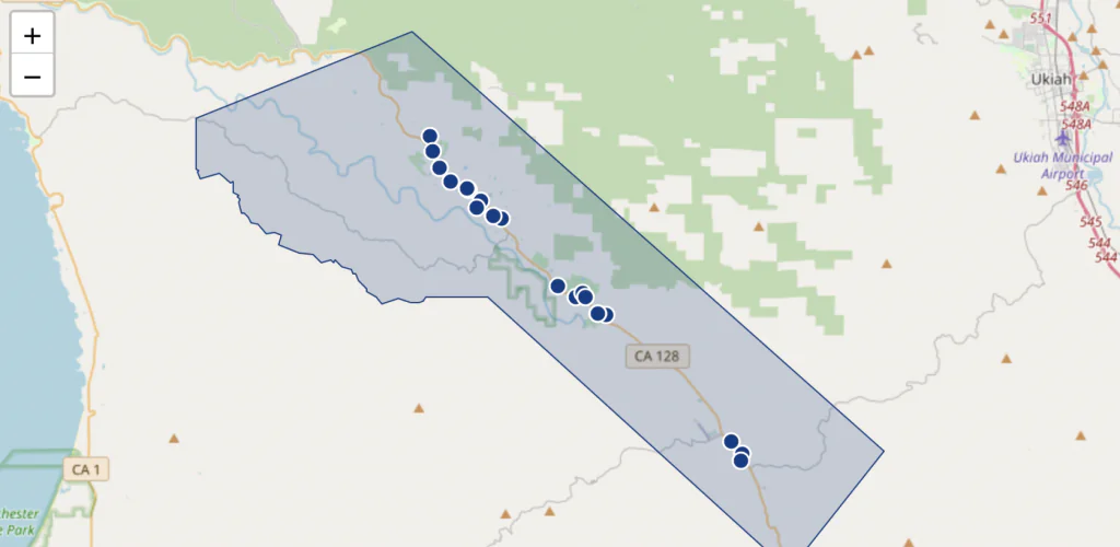
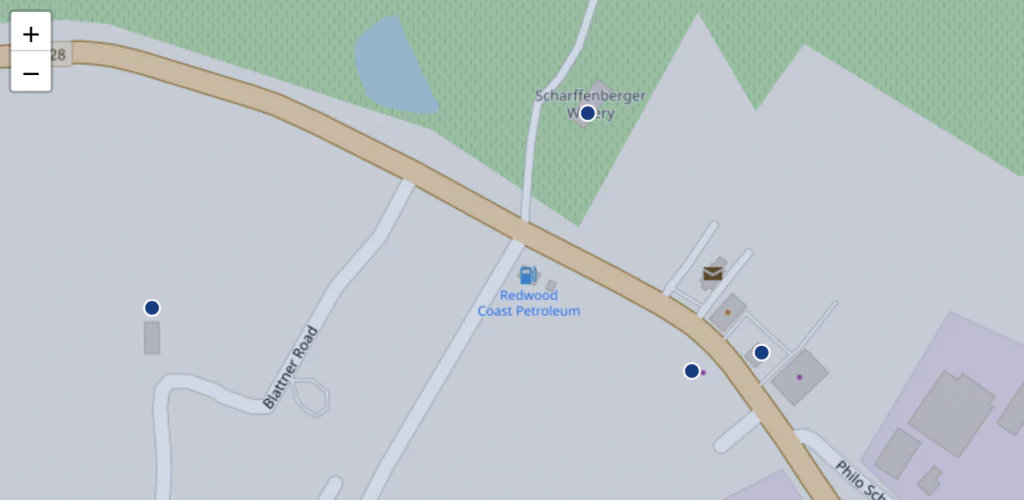
Slide 1/3: A layer of points on the map that position wineries in the selected area

FortRoss - 12FortRoss - 13

Slide 2/3: Winery points with zoomed in view

FortRoss - 14FortRoss - 15

Slide 3/3: Information pop-up of the selected winery

decor
Mappitall cases

Related Case Studies

FortRoss - 17

GIS toolkit for
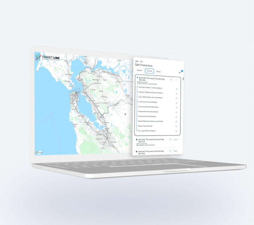
National Airport Database

A map showing the airport - and routes from the airport to city centers (routes were created with TomTom)

Read More
FortRoss - 18

GIS toolkit
for Transit Link

Public transport routes by city, district, and operator

Read More
FortRoss - 19

GIS toolkit for 
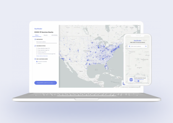
COVID-19 Vaccines Nearby

The US healthcare authorities build a Vaccines.gov app with all COVID-19 vaccine providers across the country and up-to-date data on vaccine availability.

Read More