

GIS Toolkit
for Transit Link
Project name vacfinder
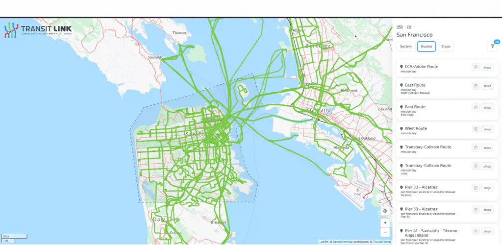
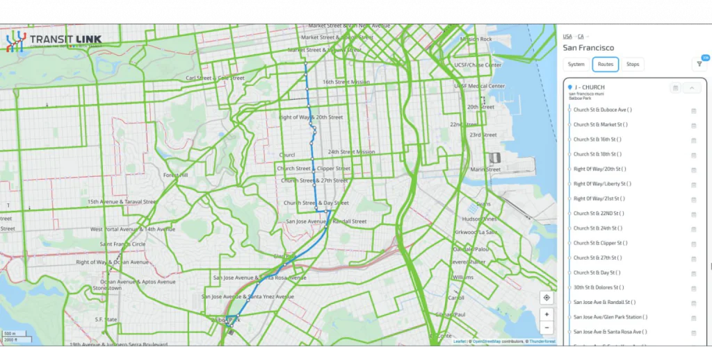
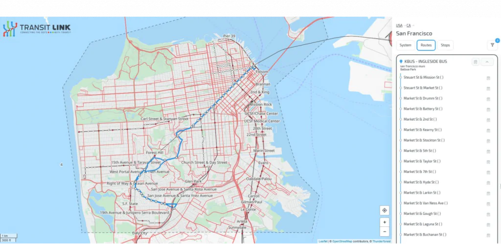
Public transport routes by city, district, and operator
-
Country:
United States
-
Industry:
Transportation
-
Project status:
In progress
-
Front end:
-

Leafletjs
-

JavaScript
-
-
Back end:
-

PHP
-
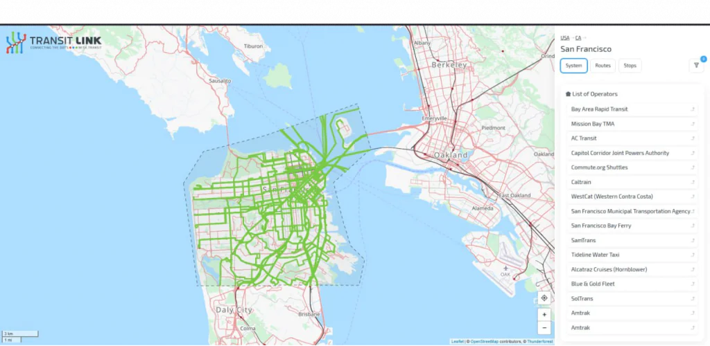
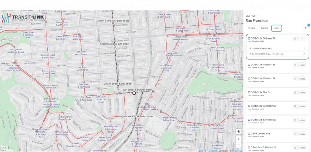
Slide 1/5: All routes of all transport that has a stop in the city, limited to the city polygon

Let's bring your project to life!
Use our expertise to design your custom mapping software solution.
Mappitall cases
Related Case Studies
-
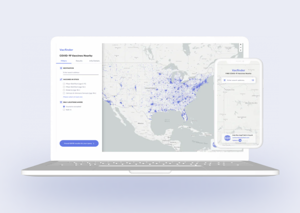
COVID-19 Vaccines Nearby
Bringing COVID-19 vaccine closer toLook into the case
the public with a web app -

-

FuseGIS
This software solution allows deep data and GIS data analysis of absolutely all parcels and properties within the territories Precise Austin, Dallas, Houston and San Antonio, TX GIS DataLook into the case