line mapping

GIS Toolkit for COVID-19
Vaccines Nearby

Project name vacfinder

The US healthcare authorities build a Vaccines.gov app with all COVID-19 vaccine providers across the country and up-to-date data on vaccine availability.

  • Country:

    USA

  • Industry:

    Healthcare

  • Project status:

    November 2021

Visit the website
  • Front end:

    • vector icon

      PostGIS

    • nodejs image

      Nginx

    • mapbox icon

      MapboxGL

  • Back end:

    • php icon

      PHP

    • postgress icon

      PostgreSQL

Results at a glance

Maps to find the nearest COVID-19 vaccination location in the United States

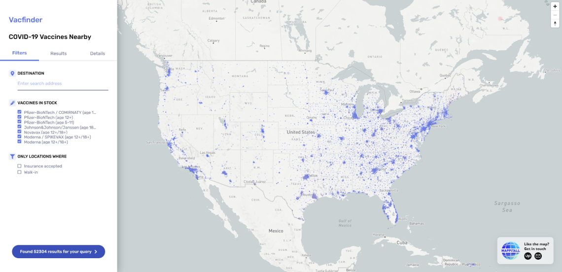
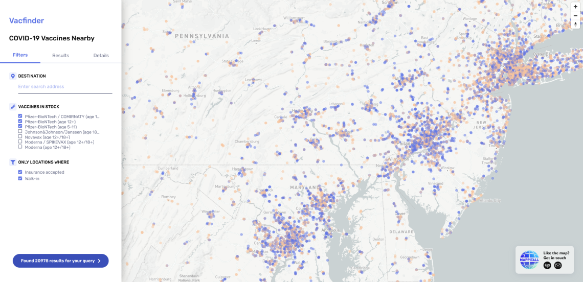
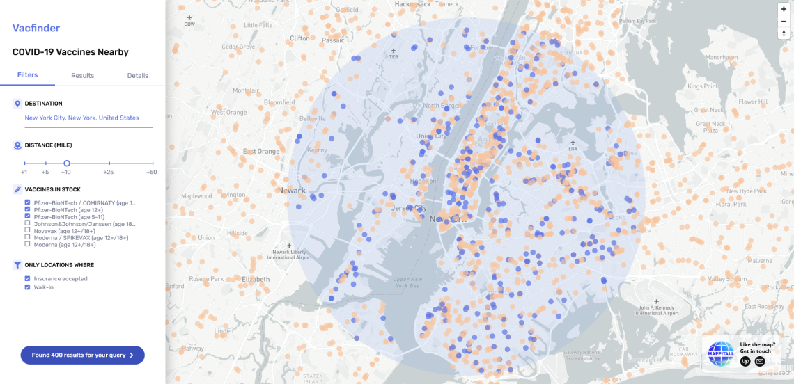
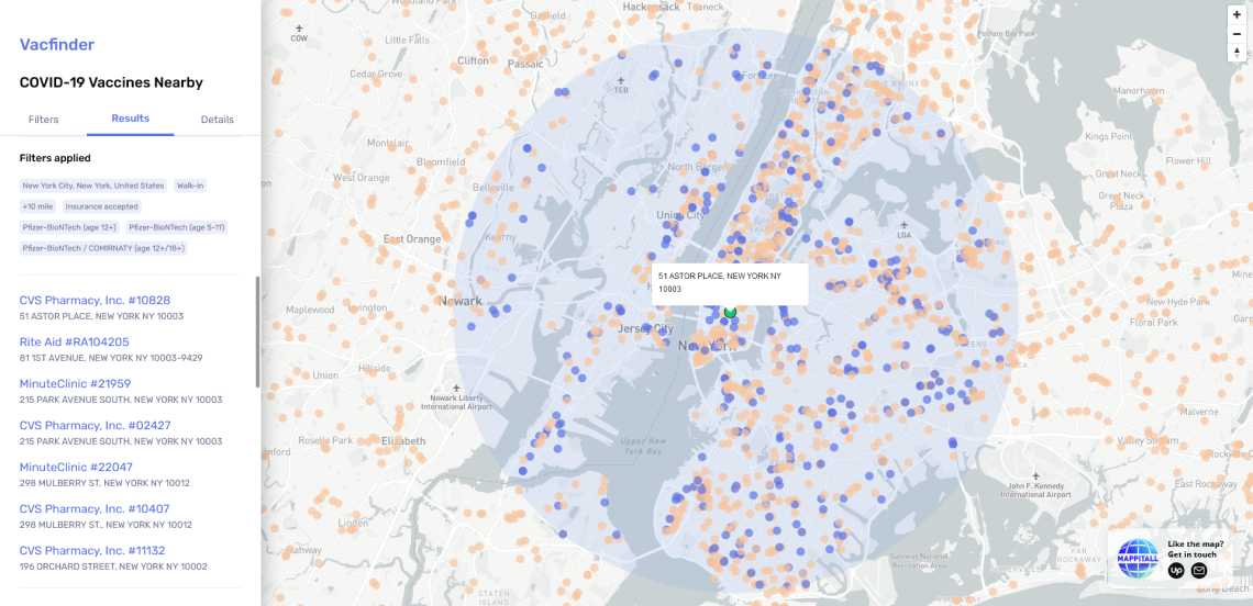
In an attempt to fight the COVID-19 pandemic, the US Department of Health and Human Services came up with a plan to make COVID‑19 vaccines free and available to anyone who wants one.

They partnered with clinics, pharmacies, and healthcare facilities and requested an app providing accurate information about the vaccination services in the area.

dotted background image

Mappitall designed a map for Vaccines.gov that allows its users to:

  • Find all locations on the map that carry COVID-19 vaccines and their contact information

  • Filter COVID-19 vaccine providers by spatial and attribute
    values (such as zip code or COVID‑19 vaccines)

  • View the list of the closest vaccine locations while navigating the map in search of the area that interests the user

  • View the vaccines available in the healthcare facility and
    schedule an appointment with the location a user chooses

  • Pull real-time data from dozens of authoritative data sources to find COVID-19 vaccine providers that match the filter criteria

covid-19 vaccine providers map usa
specific covid-19 vaccine providers by attributes
covid-19 vaccine providers by attributes and geometry
research results for covid-19 vaccine providers map usa

Map - see all COVID-19 vaccine providers in the USA

global gis mapping

Let's bring your project to life!

Use our expertise to design your custom mapping software solution.

Let’s talk

Mappitall cases

Related Case Studies

  • navigation mapping

    Road Lanes

    Traffic simulation with road markings
    with hourly playback
    Look into the case
  • fusegis mapping

    FuseGIS

    This software solution allows deep data and GIS data analysis of absolutely all parcels and properties within the territories Precise Austin, Dallas, Houston and San Antonio, TX GIS Data
    Look into the case
  • solaris mapping

    Solaris

    A sustainable energy company builds a GIS toolkit
    to inform the most efficient design and placement
    of solar panels
    Look into the case