
The goal of SFPUC is to engage residents and businesses in the San Francisco Bay Area to take an active role in caring for and improving the neighborhood where they live and work.

Paving the way to
Sustainability with a Smart
Mapping Solution
Project name Rain Guardians
The San Francisco Public Utilities Commission (SFPUC) Rain Guardians Program presents a map of rain gardens to a community of volunteers to help manage stormwater and keep them free of trash and debris.
-
Country:
USA
-
Industry:
Government regulation
-
Project status:
Complete
-
Front end:
-

PHP
-

PostgreSQL
-
-
Back end:
-

Javascript
-

Leaflet
-
Results at a glance
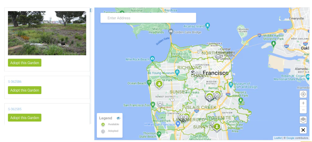
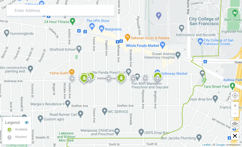
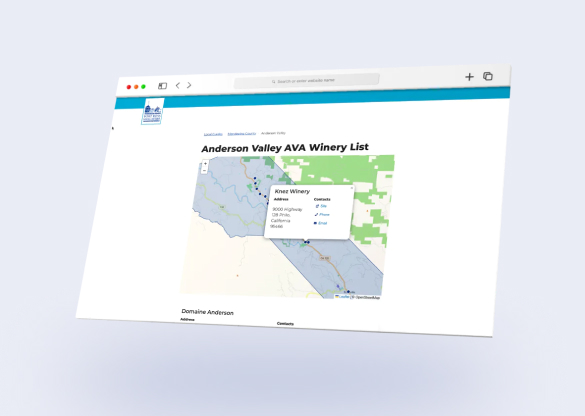
All rain gardens of San Francisco in the palm of your hand
The Mapping Solution delivered by Mappitall allows to:
-
Display all rain gardens across the San Francisco area
-
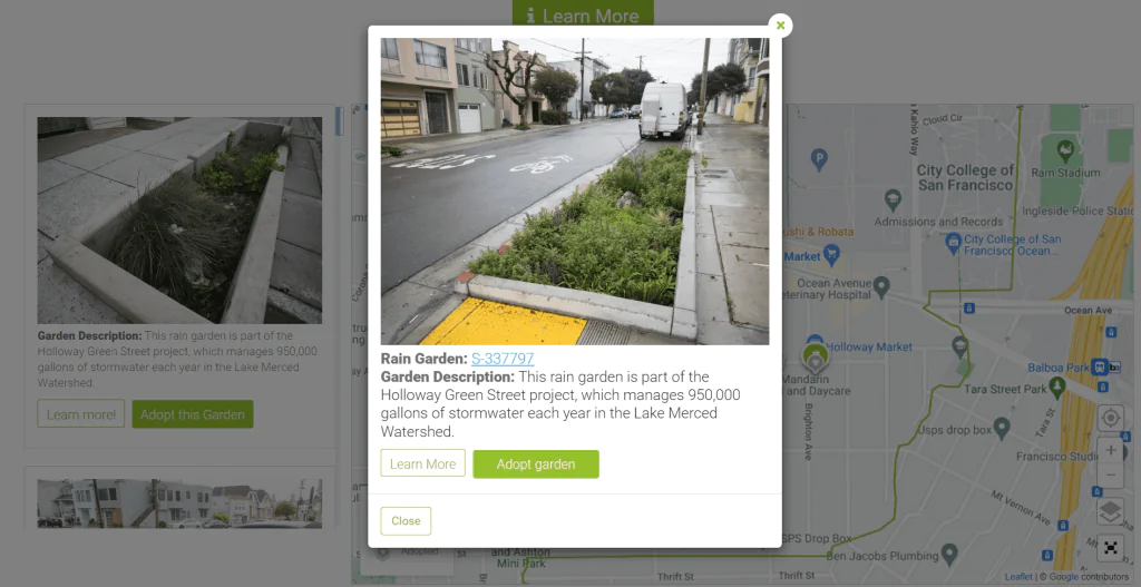
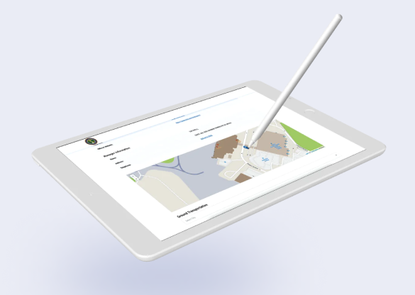
Adopt the garden or join the waiting list
-
Sign up for the service or log in to your dashboard to rename your adopted gardens, capture clean-ups, and share your achievements on social media
-
See which rain garden is available and which one is adopted
-
Interact with the map to learn more details about the rain garden, including its address, and basic description

Let's bring your project to life!
Use our expertise to design your custom mapping software solution.
Mappitall cases
Related Case Studies
-
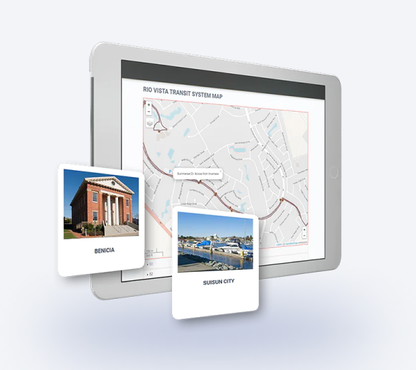
Solano County
A US transportation authority builds intuitive maps for California residents and improves daily commuteLook into the case
around Solano county. -
-
National Airport Database
A map showing the airport - and routes from theLook into the case
airport to city centers (routes were created with
TomTom)