The prime purpose of the project was for the authorities of Solano County, north-east of San Francisco Bay Area, CA, to facilitate the local transportation authority, residents, and commuters to the area.

Upgrading city maps for easier
Commute in California
Project name Solano County
A US transportation authority builds intuitive maps for California residents and improves daily commute around Solano county.
-
Country:
USA
-
Industry:
Transportation
-
Project status:
Complete
-
Front end:
-

PHP
-

PostgreSQL
-
-
Back end:
-

Javascript
-

Leaflet
-
Results at a glance
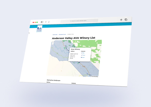
Maps to improve the quality of life & mobility in Solano County

With the help of Mappitall, Solanolinks.com managed to:
-
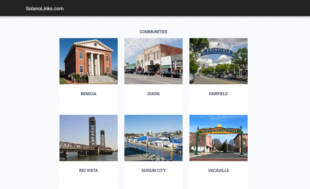
Deliver transit system maps of each community in the county (Dixon, Benicia, Fairfield, etc)
-
Connect the solution to Google Maps allowing the user to easier navigate through the area
-
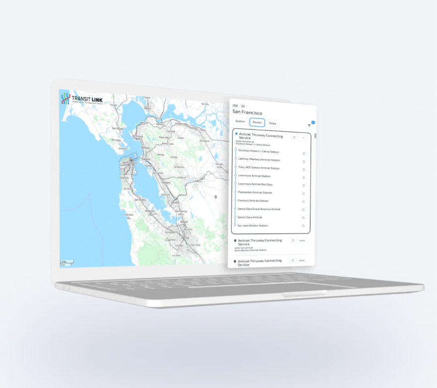
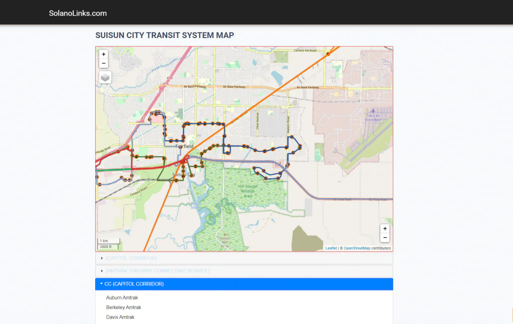
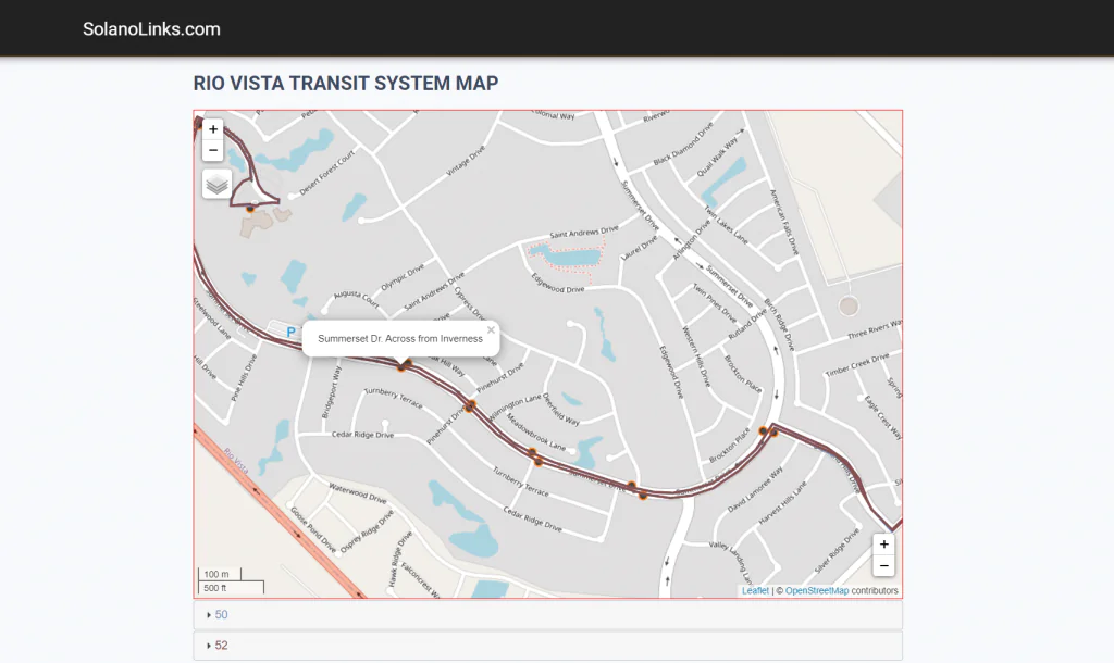
Make the city maps interactive displaying the bus stops and bus lines running to a particular location
-
Create a portal with the Northern California commuter information (number of communities in each county, transportation authorities, transit services, etc.)

Let's bring your project to life!
Use our expertise to design your custom mapping software solution.
Mappitall cases
Related Case Studies
-
-

National Airport Database
A map showing the airport - and routes from theLook into the case
airport to city centers (routes were created with
TomTom) -