Top Reasons to Perform Geospatial Analysis Immediately
Top Reasons to Perform Geospatial Analysis Immediately
August 23, 2023
Guides
Author: Volodymyr Ovramenko
Reading time: 11 minuntes
At the moment, geospatial analytics occupies a fairly important place in the world of the GIS information system. It is important to know that geospatial analytics is designed to process and display image data from a GIS system. This includes satellite imagery and GPS. The basis of geospatial analytics lies in specific geographic coordinates and precise postal codes, such as postal codes.
Geospatial analytics is most commonly used to predict and model important trends. The Mappital team is ready to help you figure out how to use geodata and create a unique GIS model. You can rely on us and be sure that experienced specialists who cooperate with us will cope with the task of any complexity.
What Is Geospatial Data?
When you have a question about what geospatial services are, the first thing you need to understand is the meaning of the term geospatial data. Geospatial data is relevant information describing specific events or objects near the earth or on its surface. With the help of these data, the coordinates on the ground and the characteristics of various phenomena are often determined.
Thanks to geospatial data, it is possible to determine the location and the exact period and attributes that are present nearby. The location you can determine using geospatial data can be broad and short, such as the location of an earthquake, or dynamic, which means locating a moving object such as a vehicle or the rate of disease spread.
Types of Geospatial Data Services
Geospatial data is information discovered in conjunction with one of the geographic indicators. At the moment, there are only two types of geospatial data, and these are vector and raster. Below we will talk more about types of geospatial analysis.
Geospatial Modeling And Analysis
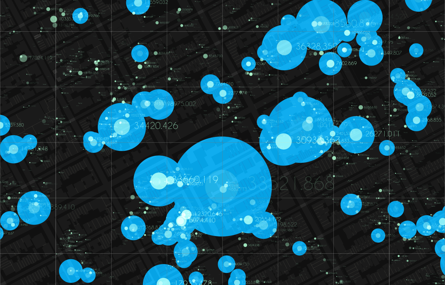
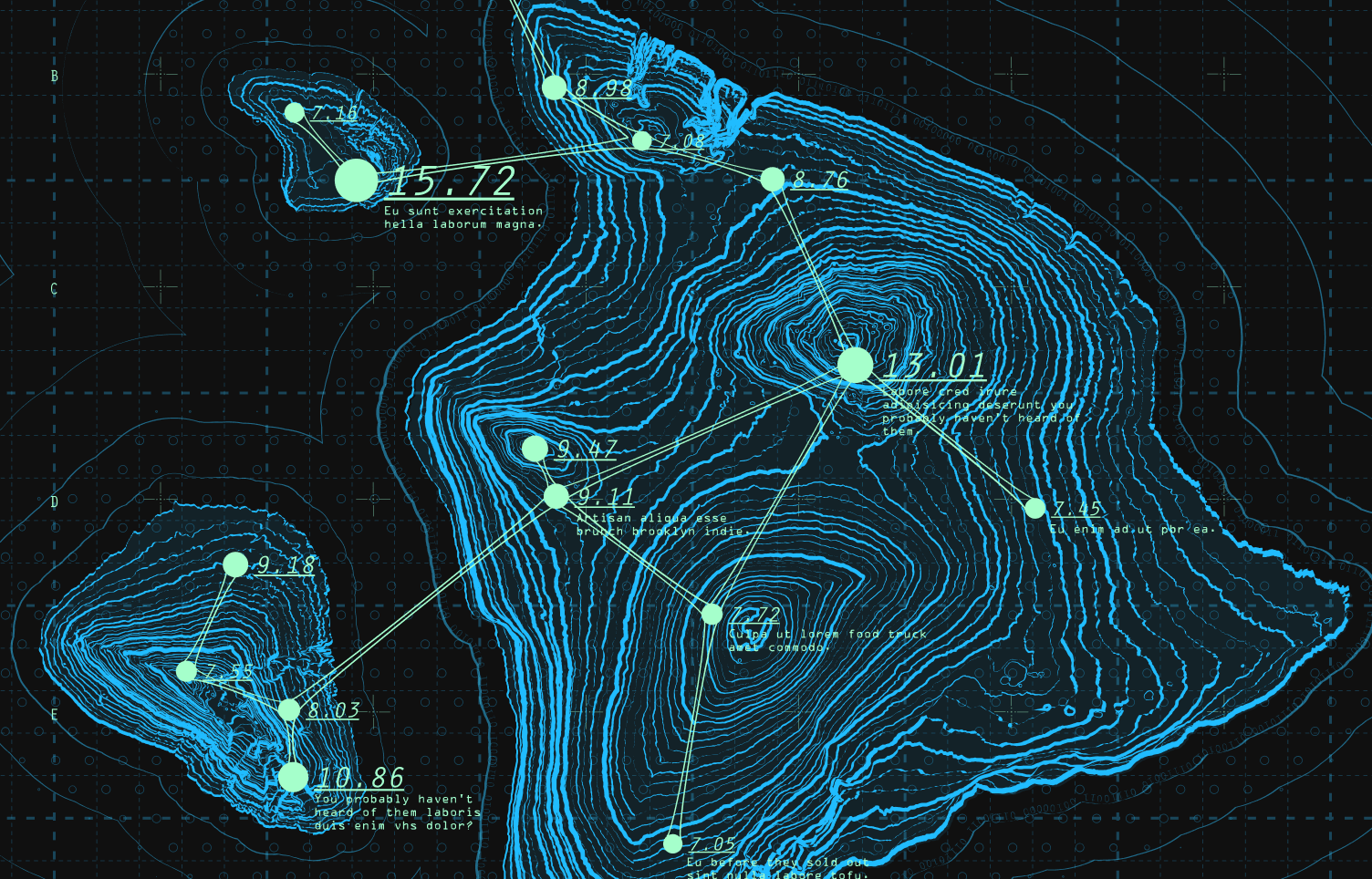
The geospatial analysis includes all kinds of technologies that exist. These can include location sensors, satellites, mobile phones, and more. All these technologies are created to connect certain places and people and georeference to one of the places on Earth or beyond. Geospatial models can look like cartograms, graphs, or maps that show events or their movement. These models may include forecasts that become more accurate thanks to the data.
Data Acquisition And Digitization
Geospatial analysis software dates back as far as 1960, when Canadian researchers first studied GIS to track natural resources. Currently, geospatial analysis collects data and analyzes it to create correct predictions. To conduct high-quality analytics, you need to collect enough information and carefully study the table, organize the data, and make it easy to understand.
Data Conversion And Transformation
Today, there are a huge number of geospatial mapping services that help move data across GIS expanses. Special satellite technology allows you to transform and edit the data to remain unchanged and correct. You can explore GIS, GPS, and other remote sensing technologies to take advantage of geospatial technologies.
Data Cleansing And Quality Audi
In addition to all the possibilities of geospatial analysis, there is also what needs to be done with the data at the time of use. First of all, it is important to remember that geospatial data can be easily influenced and edited. Therefore, conducting an appropriate quality audit and cleaning up obsolete data in time is necessary while working with them.
Benefits of Using Geospatial Data in Analytics
Canadian researchers used geospatial data analysis in 1960 to study various natural resources. In the modern world, users use geospatial analysis to collect the necessary data to understand the technology of creating various processes. These may include weather forecasts, population analysis, or the latest sales trends.
Thanks to the tables that can be created using geospatial analysis, it has become much easier for users to absorb any information and immediately understand the patterns of adjacency, proximity, and more. Modeling spatial data has many advantages, including facilitating an understanding of how and at what rate processes on the earth are changing and where exactly they occur. In addition, there are several other important benefits of using geospatial data and analysis, which we will tell you about below:
Big vision. Thanks to geospatial analysis, you can easily observe how various phenomena change in real time. Often this helps to better organize work and prepare for changes in the future.
Simple understanding. Geospatial data analysis helps to facilitate understanding the turn of events and further reaction to them.
Correct decision. After reviewing the data, many organizations can easily determine which regions are more suitable for business and why. Geospatial analysis provides an opportunity to find out which country is better and why.
All these advantages help organizations make their business processes better and more productive. If you have not previously encountered geospatial analysis and do not know how to do it correctly, contact our service, and experienced specialists will provide you with reliable assistance.
How Geospatial Analysis is Used
Currently, geospatial data analysis is used in completely different fields and areas. Since spatial data is an important factor in the success of many organizations, it has become increasingly used for different purposes and in different areas. Below, we will talk about how and in what areas geospatial analysis is used in the modern world:
Military targets. In this area, geospatial analysis plays a rather important role because, with the help of data, it is possible to find the enemy and eliminate the danger even before it is closer. Thanks to the analysis, the military can have an idea of the situation at the front and correctly position their equipment to be able to leave positions promptly or launch an offensive.
Communication. Geospatial data services allow you to determine the strength of the network signal, make call recordings, and ensure uninterrupted network operation. Geospatial analytics helps create a reliable signal that doesn’t change based on location and other factors.
Urban development. Geospatial data analytics help you determine population growth and its impact on vital resources. With the right data, you can learn about many nuances that will help you build good infrastructure and do it at the right scale.
Weather. Geospatial analysis helps you quickly respond to changing weather conditions and prevent floods, fires, volcanic eruptions, etc. Spatial data shows the level of safety and provides information regarding the need for an evacuation from the respective region.
We have listed several areas where geospatial analysis can be used, but these are not all areas of life in which geospatial data analysis can help succeed. Contact our service for help in the analysis and see for yourself that this is very important.
How Do I Check if the Geospatial Analytics Are Done Right?
Many users do not know how to check whether they have correctly conducted geospatial data analysis. Our service is doing everything possible so that every person and organization that has faced a similar task has had success and a positive result. Below we have listed several key business practices that help you understand whether the analysis was carried out correctly and what methods were used.
Orchestration
To check the correctness of geospatial data, it is necessary to conduct an orchestration. To do this, you need to combine all the data and find out what the outcome was as a result. At this stage, it is important to understand that you are doing this to analyze the effectiveness and not to draw more attention to the business project.
Debugging
Debugging helps you determine how well your geospatial analysis is performing and how accurate it is. Here you need to carefully analyze the behavior of consumers or other participants who have used the data to better understand which area you need to invest in.
Deciding
This stage is one of the most important because you need to analyze all the data and make an important decision about the company’s further development. After the first steps, you will surely understand your organization’s prospects and make a decision a little easier. Do not forget to assess the risks and calculate all the nuances to the smallest detail.
Collaboration
When you are at the final stage, it is important to understand that to start cooperation. You need to carefully analyze your competitors and make sure that you have made the right choice. Often, companies just starting their journey forget about the importance of this stage and cooperate with the first organization they come across. You don’t need to do this. Carefully analyze all the data and only after that conclude the appropriate contract.
Measuring Impact
Measuring impact helps identify patterns of sorts about which companies generate more interest from users and how best to reach them. With this step, you can easily conduct a strategic analysis and find out what impacts are best for your organization’s customers
Geospatial Analytics Market and Industry
In the modern world, the possibilities of using geospatial data analysis are growing significantly, and according to statistics, their number will double in the next few years. Geospatial analysis is used in various fields, from commercial to non-commercial. Many companies use geospatial analysis Python to facilitate analysis and obtain the most accurate data.
One area that often uses geospatial analysis for its activities is trade and investment. However, the most common users of spatial data are utilities, who use the data to predict the future use of the equipment and fix problems before they occur.
Enterprises That Benefit by Using Geospatial Analytics
According to statistics, more than 80% of organizations use geospatial analytics and have location data. The main benefit for companies is that they can easily track and locate customers on a map and conduct business intelligence that improves efficiency. Using the postal code, organizations can determine competitors and how far they are from customers and, based on this, determine where to locate a new store or outlet. Retailers can follow customers who download the organization’s application to their mobile phones and send SMS in real time.
In addition, the analysis of geospatial data allows you to improve logistics and improve the quality of the transport chain. Therefore, enterprises choose data analysis to visualize transport routes and business processes. In addition to the transportation area, the government also benefits from the use of geospatial analysis because they can monitor changes in municipal lines and connections with cities indefinitely.
FAQ
How do I learn geospatial analysis?
The best way to learn geospatial analysis is to study at a special institution, which will offer you a whole set of classes to study this area in all the principles of cartography, geospatial data management, and GIS.
What are the methods of geospatial analysis?
There are two main methods of geospatial analysis: vector data and raster data. It is important to understand that geospatial data is information that has been determined through geographic analysis.
What can geospatial data be analyzed to determine?
With the help of geospatial data and analysis, you can determine events or objects on the Earth’s surface or beyond. You can also determine the location, coordinates, and characteristics of a particular object or information about it in real time.
What are the three types of geospatial data?
At the moment, there are three main types of geospatial data: spatial, metadata, and attribute. Each has different goals for research and analysis, so when planning to analyze geospatial data, you need to clearly articulate your goals to determine the type you will use.
What is the difference between GIS and geospatial data?
Geospatial data is a set of geographic images linked by mapping technologies, and GIS is a tool that helps define geospatial data. The only difference is that GIS is used as a data definition function.
Conclusion
We have considered in sufficient detail the impact of geospatial data and analysis on the promotion of organizations in various fields of activity. Geospatial data analysis plays an important role in the development of companies because, with the help of the data obtained, you can find a lot of useful information that will help you not only track the movement of customers but also attract more. Our service provides high-quality assistance in conducting geospatial analysis and other actions with important data. You can rely on us and be sure that experienced specialists have enough knowledge to make your business more attractive to users.
How Mappitall can help with Geospatial Analytics?
Our service is the best assistance in conducting geospatial analysis, so by contacting us, you will receive high-quality and fast assistance. Experienced specialists who cooperate with us have a huge amount of skills and knowledge that help to conduct a good analysis every day, which helps to bring business processes to a new level. By contacting us, you will deal with professional experts who are ready to answer any question 24/7. You can rely on us and be sure that you will not be left without our support. Come to the Mappitall service and see for yourself all our advantages!
Get in touch with us
Want to discuss your project?
Use our expertise to design your custom mapping software solution.
Just contact us:
Tell us about your project goals, and we’ll get back to you in no time!
An entrepreneur and business leader, Volodymyr began his career in the late 1990s at the Laboratory of Geoinformation Systems of the Kharkiv National University of Radioelectronics.
In 2007 Volodymyr created Mappitall, and grew the company from a small agency providing GIS solutions to one of the industry leaders in Ukraine, a reliable technology partner for many international enterprises and top-level organizations around the world.
As CEO, Volodymyr is the driving force behind the company’s strategy and business development, actively working on the development of Mappitall’s business model, attracting more and more talented people who share his vision and mission.