Digital Mapping: Top Reasons To Use It in Business
Digital Mapping: Top Reasons To Use It in Business
May 15, 2023
Guides
Author: Volodymyr Ovramenko
Reading time: 11 minuntes
Investment in digital mapping solutions has been significant in recent years. Governments, private companies, and non-profit organizations are contributing to developing new mapping technologies.
For example, Google Maps and Apple Maps have become popular mapping applications. They are widely used for navigation and location-based services. In addition, governments around the world are investing in digital mapping services. It helps to improve infrastructure planning, disaster response, and public safety.
What is digital mapping?
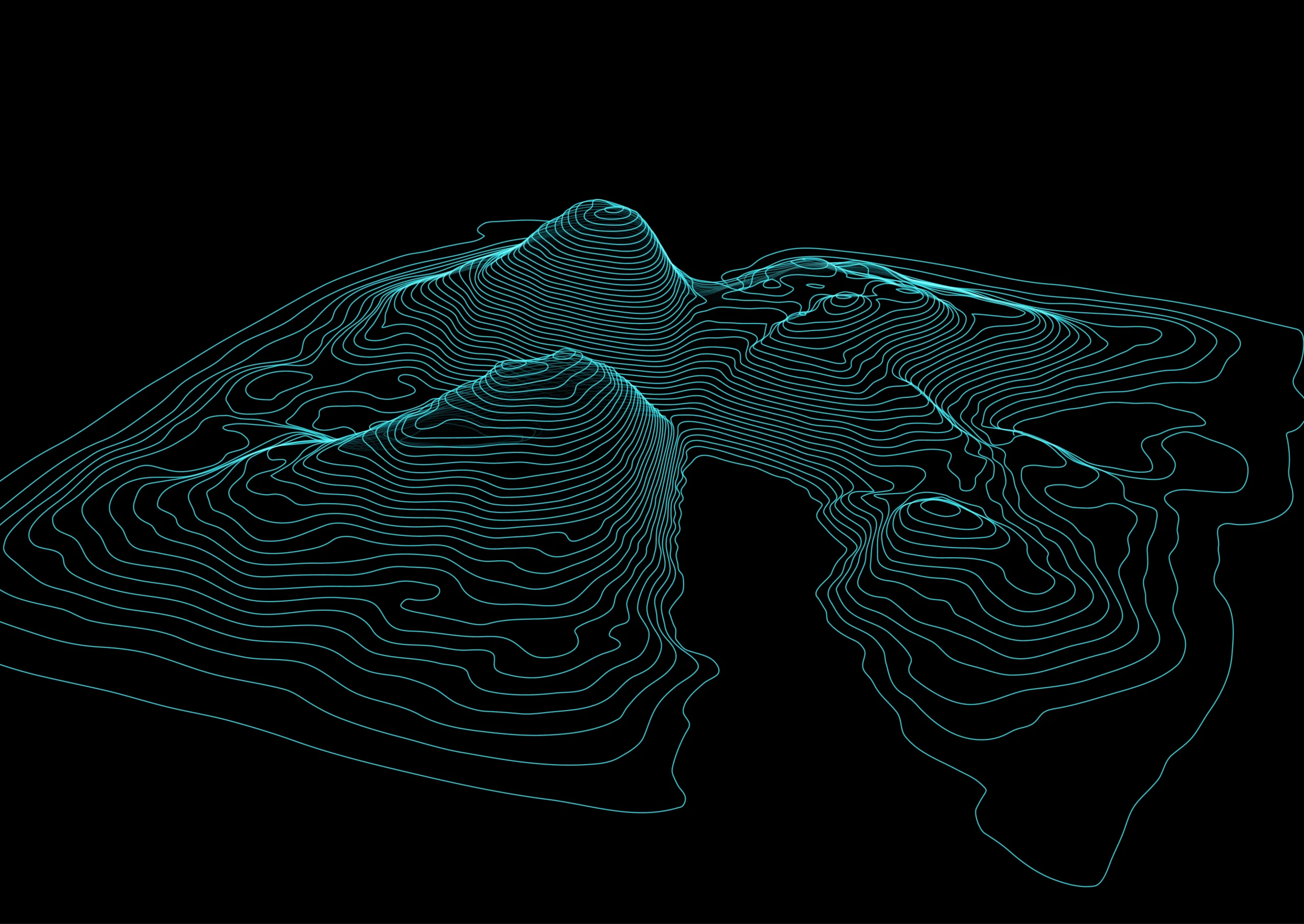
Digital mapping is the creation of digital maps or visual representations of geographical or spatial information using computer technology. It involves capturing, storing, and displaying spatial data in a digital format. It can then be manipulated and analyzed using software applications.
The history of digital mapping
The history of digital mapping software dates back to the 1960s. The US Geological Survey developed the first digital mapping system. In the following decades, advancements in computing technology and satellite imagery led to the development of more sophisticated mapping systems. In the 1990s, the growing popularity of the Internet facilitated the widespread distribution and sharing of digital maps.
Why is it important?
This technology has become increasingly important in various fields. It includes urban planning, transportation, natural resource management, and emergency response. It allows organizations to better understand and manage spatial data. As a result, it can help them make more informed decisions and improve operational efficiency. Also, it allows individuals to navigate unfamiliar areas and find specific locations, such as businesses or landmarks.
Digital mapping offers many benefits for businesses, consumers, and society as a whole. It has helped companies work effectively for years, raise customer satisfaction, and improve city planning. Here are some of the key benefits:
For Businesses:
Improved decision-making. Digital maps can give businesses valuable insights into customer behavior, market trends, and competition. This can help companies make more informed decisions. For example, they need to decide where to locate their operations, how to target their marketing efforts, and which products or services to offer.
Enhanced logistics and supply chain management. It can help businesses optimize logistics and supply chain management. This can be done by providing real-time data on traffic patterns, road conditions, and weather events. This can enable businesses to use their resources more efficiently and reduce delivery times.
Improved customer experience. Digital maps can help businesses provide better customer experiences by offering accurate and up-to-date information about their locations, hours of operation, and available services. This can improve customer satisfaction and loyalty.
For Consumers:
Improved navigation. Digital maps can help consumers navigate unfamiliar areas, plan routes, and find points of interest. This can save time and reduce stress, especially when traveling to new locations.
Better access to information. Digital maps can provide consumers with valuable information about their surroundings. For example, consider traffic conditions, weather, and nearby businesses or attractions. This can help consumers make more informed decisions about where to go and what to do.
Enhanced safety. Digital maps can help consumers stay safe with real-time updates on traffic accidents, road closures, and other hazards. This can enable consumers to make safer travel decisions.
For Society:
Improved urban planning. Digital maps can provide valuable insights into urban areas. It includes population density, traffic patterns, and environmental factors. This can help cities and municipalities make more informed decisions about infrastructure development, transportation planning, and environmental conservation.
Better emergency response. Digital maps can help responders quickly locate and respond to natural disasters, fires, and medical emergencies. This can save lives and reduce property damage.
Increased efficiency. Digital maps can help reduce waste and increase efficiency in various industries, such as agriculture, forestry, and natural resource management. This can help preserve natural resources and reduce the environmental impact of human activities.
Digital mapping relies on various technologies to capture, store, and display spatial data. Let’s look at some key technologies to understand how it works better.
Geographic Information Systems (GIS).GIS software enables users to collect, store, analyze, and display spatial data. In addition, it provides a framework for integrating different data sources and creating maps and other visualizations.
Global Positioning System (GPS). GPS is a satellite-based navigation system that provides precise location data. It is commonly used in mapping applications to determine the location of points of interest and track movement.
Remote Sensing. It refers to using sensors to collect data about the earth’s surface from a distance. This technology is often used to collect data on topography, land use, vegetation, and other environmental factors.
Photogrammetry. Photogrammetry involves using photographs to create 3D models of the earth’s surface. This technology is commonly used to create accurate and detailed maps.
Digital Mapping in GIS
In digital mapping within GIS, data collection is a critical aspect. This involves collecting spatial data through various means, including GPS, remote sensing, and photogrammetry. Once the data is collected, it can be used to enhance existing maps or create new ones.
GIS also enables the development of software development kits (SDKs), application programming interfaces (APIs), and platforms for digital mapping. These tools enable developers to create custom mapping apps. So they can be integrated with other software applications. This makes it possible to create customized maps and visualizations. It meets specific business or consumer needs.
Finally, such mapping platforms as Google Maps and ArcGIS Online allow users to access and interact with digital maps through web-based applications. These platforms offer a range of features and tools. For example, it enables users to customize and analyze maps and share them with others. This makes digital mapping accessible to many users, from individuals to large corporations and government agencies.
Like most tech industries, digital mapping has undergone significant advancements in recent years, driven by technological innovation and evolving user needs. Here are some of the top trends to watch:
Real-time mapping allows users to access up-to-date information. For example, traffic conditions, weather, and other factors may impact their travels. Navigation apps use this technology to provide users with the most accurate and current information.
Augmented reality (AR) mapping lets users overlay digital information on the physical world. This technology is used in various apps, including tourism, education, and real estate. It helps to provide users with interactive and immersive experiences. Indoor mapping provides users with detailed maps of indoor spaces, such as malls, airports, and museums. This technology is used to help users navigate complex indoor environments and find points of interest.
3D mapping gives users a more realistic and immersive view of the world around them. This technology is used in gaming, virtual reality, and urban planning.
Cloud-based mapping allows users to access and share mapping data anywhere with an internet connection. This technology enables user collaboration and provides businesses with a scalable and flexible mapping solution.
AI-powered mapping. Artificial intelligence is being used to automate creating and updating digital maps. This technology can help improve the accuracy and speed of mapping. Also, enable new applications, such as predictive modeling and spatial analysis.
Open data mapping refers to making mapping data freely available to the public. This trend is driven by a growing demand for transparency and accessibility and recognition of open data’s social and economic benefits. These mapping trends are shaping the future of mapping, enabling new applications and enhancing existing ones. As technology continues to evolve, we can expect to see even more innovation and advancements in the industry in the years to come.
How to Find the right Mapping Software
Finding the right mapping software depends on various factors. For example, the specific needs of your business, the technology you are working with, and the available resources. When it comes to business mapping needs, it’s essential to consider what types of data you need to map, what level of detail you require, and how you plan to use them. For example, if you need to map sales territories or customer locations, you may need mapping software with advanced geocoding and data analysis capabilities. Regarding technology, you’ll want to consider what types of data sources you’ll be working with and what platforms your team is comfortable using. Some mapping software may be optimized for specific platforms or data formats. So choosing a solution that integrates well with your existing technology stack is essential. When evaluating virtual mapping software, there are a few key features to look for, including:
Data visualization. Look for software that allows you to create clear and easy-to-read maps that effectively communicate your data.
Customization. Choose software that allows you to customize your maps to meet your specific needs, including adding custom layers and data points.
Collaboration. Look for software that allows multiple users to work simultaneously on the same map and share data and insights.
Geocoding. Choose software that can accurately geocode your data, enabling you to map points based on their physical location.
Analysis. Look for software that includes data analysis tools to identify patterns and trends in your data.
Finally, it’s essential to consider your available resources to invest in a digital mapping solution. Mapping software can range from free, open-source solutions to high-end enterprise solutions that require significant investment. Consider your budget and how much time and resources you are willing to invest in learning and implementing a new mapping software. Finding the right mapping software requires careful consideration of your business needs, technology, and available resources. By evaluating these factors and selecting a solution that meets your specific requirements, you can effectively leverage digital maps to drive business growth and improve decision-making.
FAQ
How can digital maps be accessed?
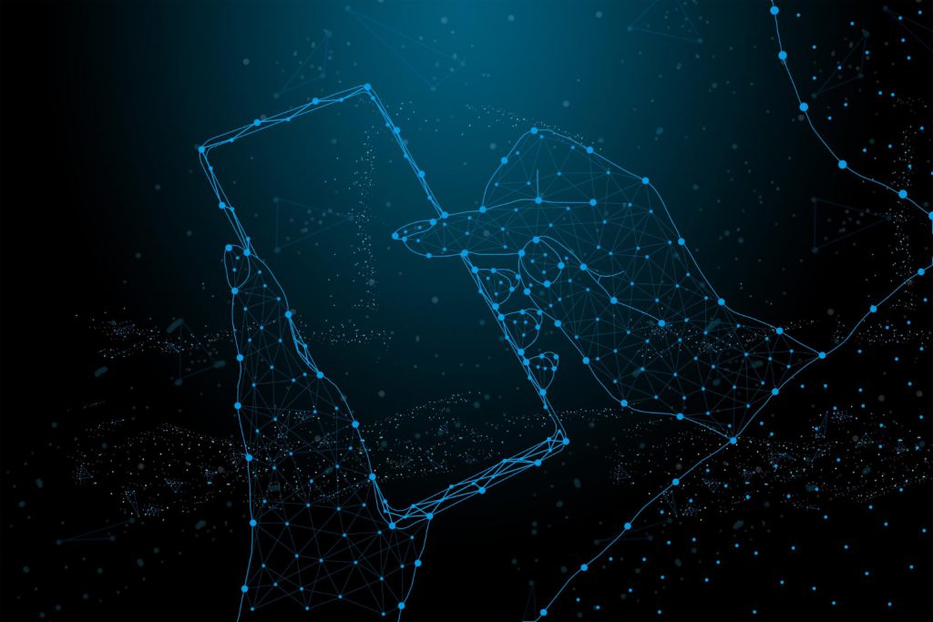
Digital maps can be accessed through various channels. It can be websites, mobile applications, and desktop software. Many digital maps are available online and can be accessed through a web browser. Mobile apps can also provide access to digital maps, providing the user with a portable mapping solution. You can also use Desktop software such as Geographic Information Systems (GIS) to access and manipulate digital maps.
What is digital mapping in surveying?
Digital mapping in surveying involves using digital technology to create maps from survey data. Surveyors use specialized software to analyze and manipulate survey data, creating digital maps that accurately represent the terrain and features of a surveyed area.
How to do digital mapping?
It typically involves using specialized software to create and manipulate digital maps. Creating a digital map involves data acquisition, georeferencing, and data analysis. The data can be acquired using various sources such as satellite imagery, GPS, and remote sensing technologies. The data is then georeferenced or placed in a geographic coordinate system. Then analyzed using specialized software to create the digital map.
What is a digital mapping system?
A digital mapping system is a software solution that enables digital map creation, management, and analysis. These systems typically include features such as data acquisition, georeferencing, data analysis, and visualization tools.
Who uses digital mapping?
It is used by various industries and professionals, including cartographers, geographers, surveyors, urban planners, transportation planners, real estate professionals, environmental scientists, and emergency responders.
Why is digital mapping important?
It is essential because it accurately represents the physical world. It allows us to better understand and navigate our surroundings. It also supports decision-making in urban planning, transportation, and environmental management. Additionally, mapping can be used to identify patterns and trends in data providing insights into complex relationships and processes. Overall, digital mapping is a critical tool for modern society. It offers valuable information for research, planning, and decision-making.
Mappitall Digital Mapping Services for Business
Mappitall provides businesses with powerful tools for mapping and analyzing their data. We offer a range of features designed to help enterprises to visualize and understand their data. It also includes customizable maps, advanced geocoding, and data analysis tools. One of our services is creating customizable maps tailored to a business’s needs. Maps can be created with various data layers, including satellite imagery, street maps, and custom data layers such as sales territories, customer locations, and market demographics. In addition, we. can customize the maps with various visual styles, including color coding, symbols, and heat maps. We also offer advanced geocoding tools that enable businesses to plot their data points accurately on a map. We support a wide range of data formats: addresses, latitude/longitude coordinates, and zip codes, and we can automatically geocode large datasets with high accuracy. In addition to mapping and geocoding tools, Mappitall offers a range of data analysis features. They are designed to help businesses gain insights from their data. We also provide a range of integration options, including APIs and SDKs. They enable businesses to integrate the service into their existing software and workflows. Contact us to learn how we can help your business today, or visit our website for more information on mapping solutions.
Get in touch with us
Want to discuss your project?
Use our expertise to design your custom mapping software solution.
Just contact us:
Tell us about your project goals, and we’ll get back to you in no time!
An entrepreneur and business leader, Volodymyr began his career in the late 1990s at the Laboratory of Geoinformation Systems of the Kharkiv National University of Radioelectronics.
In 2007 Volodymyr created Mappitall, and grew the company from a small agency providing GIS solutions to one of the industry leaders in Ukraine, a reliable technology partner for many international enterprises and top-level organizations around the world.
As CEO, Volodymyr is the driving force behind the company’s strategy and business development, actively working on the development of Mappitall’s business model, attracting more and more talented people who share his vision and mission.